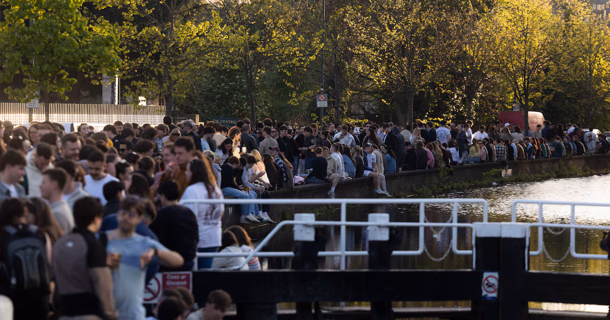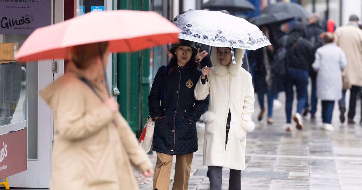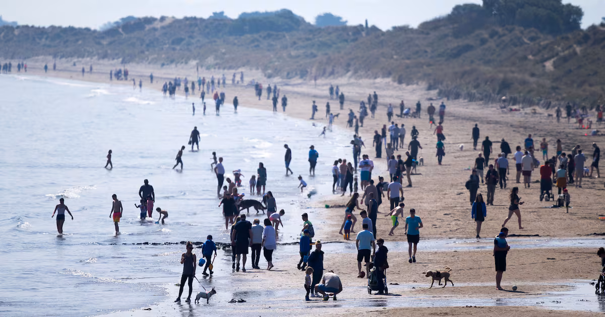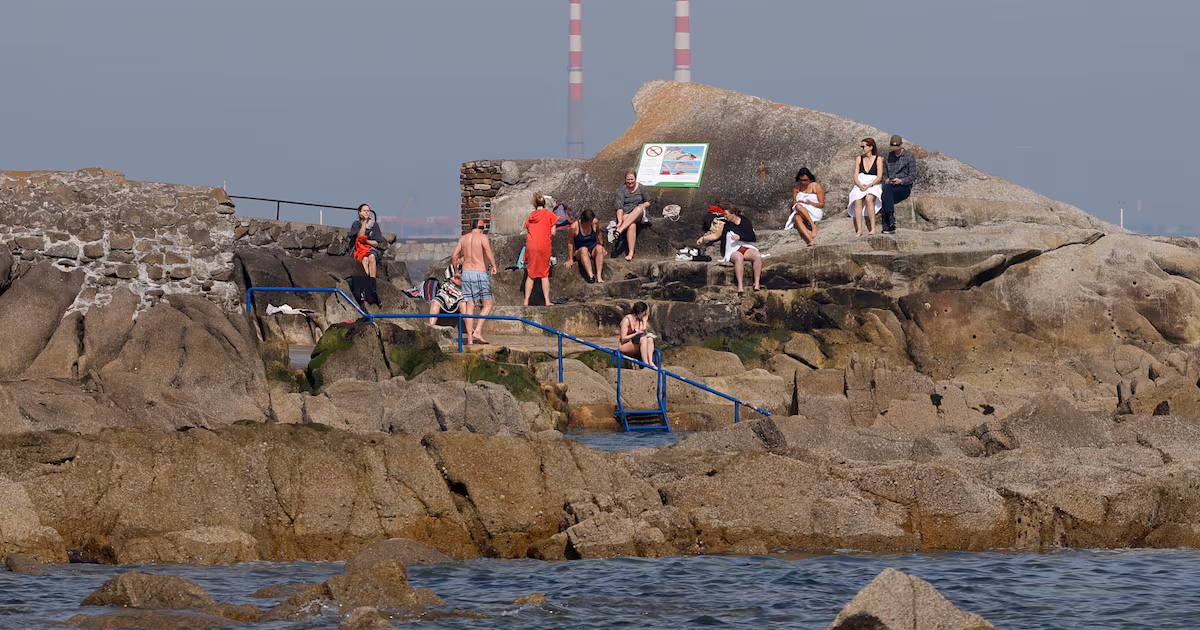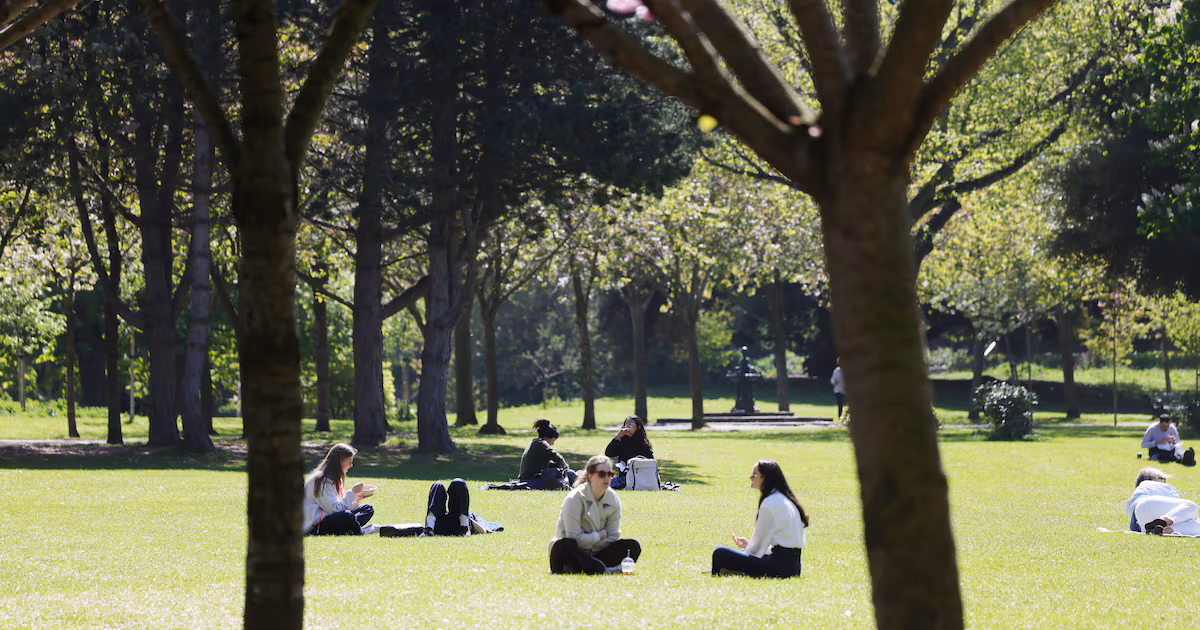
What Met Éireann classified yesterday as an official heatwave is coming to an end with temperatures set to fall back to between 18 and 23 degrees over the weekend and no higher than 20 degrees as next week begins. That transition to less warm and humid conditions will mean the country reverts to a more traditional mix of sunny spells and scattered showers as the Atlantic starts to reassert its influence over the island to coincide with primary schools closing for the summer holidays.The fall in temperatures and the spread of rain will start on Saturday and become considerably more pronounced on Sunday and into Monday, although the national forecaster did say there would still be some room for bright and sunny spells in many places, with the best of the weather likely earlier in the weekend. It's not a heatwave; Women of the revolution; Veronica Guerin; USA's 250th birthday Listen | 10:00Sunday will be marked by a mix of sunny spells and scattered showers and any dry weather that there is likely to be found in the east in the morning The showers that will form at first mainly in the west and north will spread elsewhere in the afternoon and evening with the highest temperatures ranging from 15 degrees in the west to 20 degrees in the east.While such temperatures are entirely normal for Ireland towards the tail end of June, they will be almost 20 degrees lower in some places than those recorded at the height of the extreme weather event earlier in the week. “There will still be a little bit of sunshine at times in the east on Saturday, but it’s generally a cooler picture over the rest of the country,” said Met Éireann forecaster Deirdre Lowe. “It will be quite humid to begin, but then the fresh air gets into the west in the afternoon and reaches all parts during the evening. It will turn noticeably cooler and Sunday will be much fresher day.”Temperatures to rise across Europe this week due to heat dome. Credit: meteociel.fr The soaring temperatures over the last week, which came close to breaking some records that have stood for more than a century, prompted the State forecaster to formally confirm that a heatwave had occurred in several places countrywide. For that official classification to be applied, there have to have been five successive days where temperatures topped 25 degrees. “We were at the tail end of the very warm air coming up from the Continent,” said Lowe. While the heat will subside in the coming days, the soaring temperatures had a sting in their tail on Friday, with temperatures of 28.2 degrees recorded at weather stations in the Phoenix Park and in Carlow. Friday evening was also marked by intense thunderstorms, which swept over Clare and Galway throughout the afternoon and up towards Mayo and the northwest as the evening went on, prompting Met Éireann to put an orange weather advisory in place for a time. The storms created havoc around the country with thousands of homes, farms and businesses left without power following cuts associated with thunderstorms, said ESB Networks.
Weather Ireland: Heatwave declared official on Friday, but temperatures to dip over weekend
Rainfall will become more widespread by Sunday, after thunderstorms left some without power
522 words~2 min read