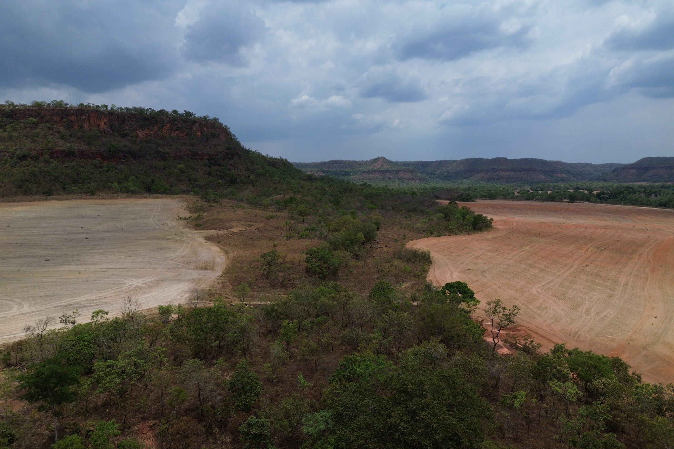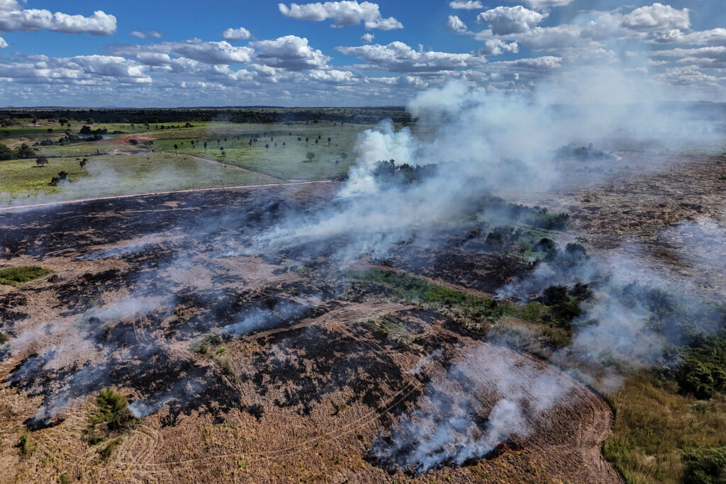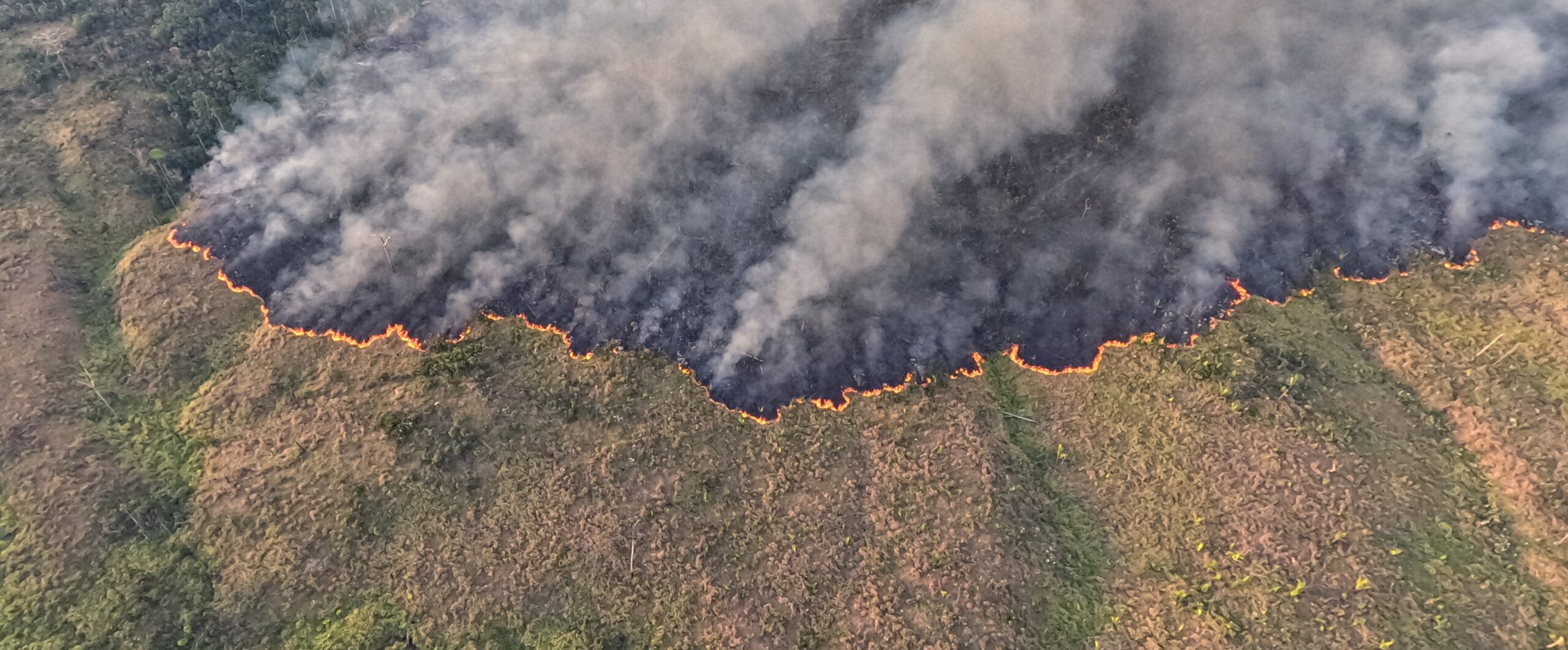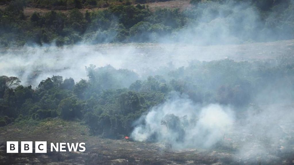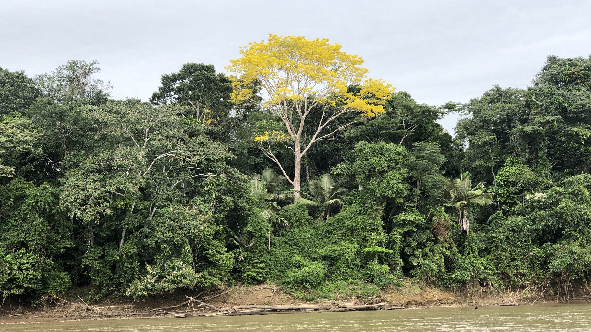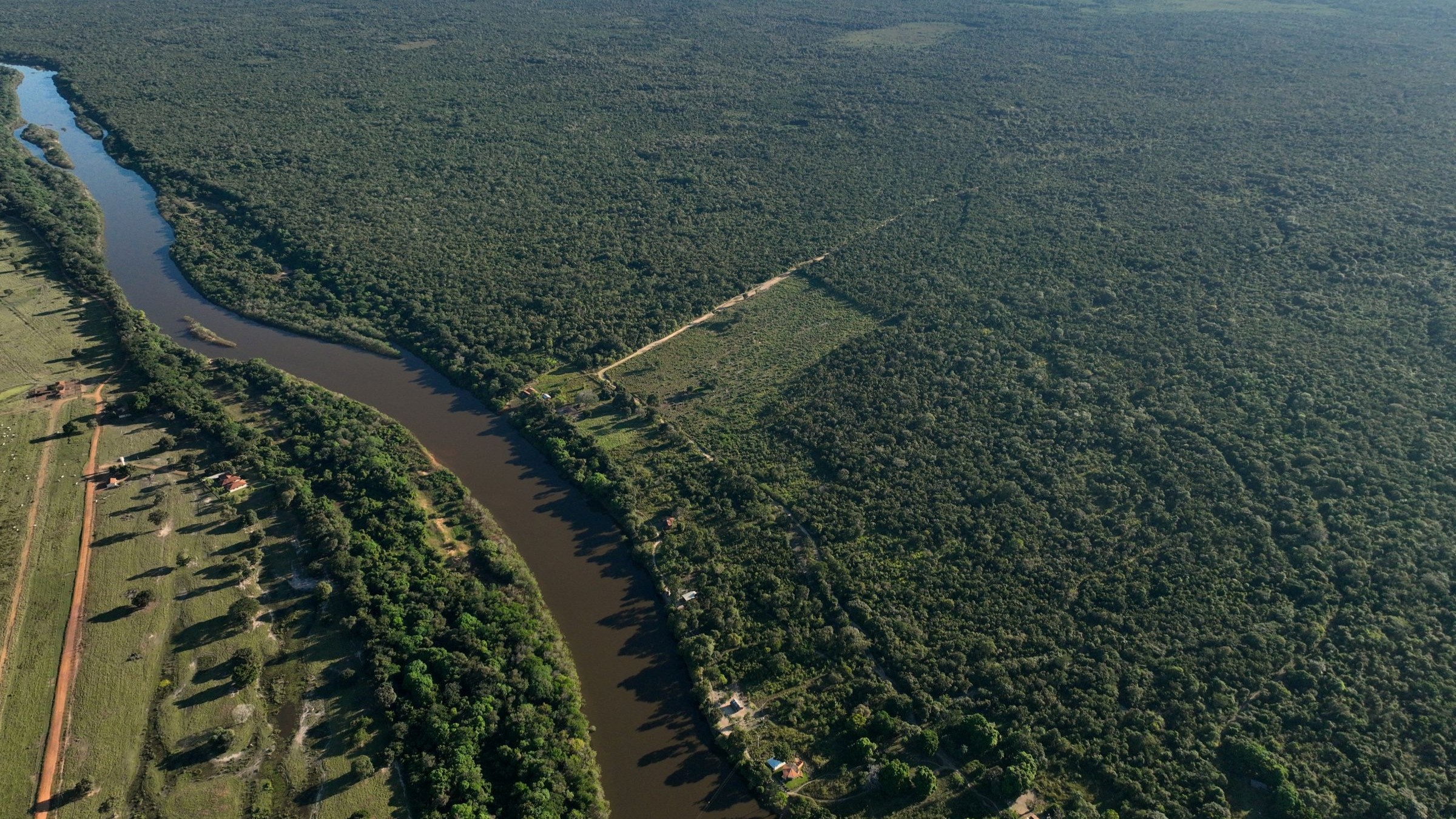
Amazon Conservation’s Mapping of the Andes Amazon Project (MAAP) published its annual analysis of 2025 forest loss in the Amazon Rainforest, using the data developed by the University of Maryland’s GLAD Lab.Last year, there were 736,484 hectares (1,819,891 acres) of deforestation, largely from agriculture, mining, and roads and infrastructure. Nearly 132,000 hectares (326,179 acres) of it was illegal, occurring inside protected areas and Indigenous territories, the analysis found.Researchers said this year could be far worse than 2025 as the current El Niño continues to warm up the Pacific Ocean, creating heat waves and dry conditions that lead to more forest fires.
Each year, researchers at the University of Maryland’s GLAD Lab in the U.S. develop one of the most important data sets on global forest loss. The data is derived from NASA and European Space Agency satellite imagery and, in the Amazon Rainforest, often helps environmental groups and government officials make decisions about conservation.
The figures for 2025 were published at the end of April, following months of processing and quality checks. But a comprehensive analysis, highlighting year-on-year trends and hotspots, was only recently released by Mapping of the Andes Amazon Project (MAAP), an Amazon Conservation initiative to track forest loss in the Amazon basin.