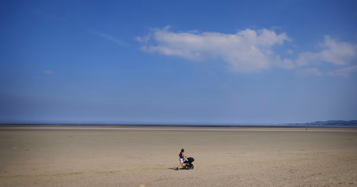
Much of mainland Europe is on high alert for extreme heat this week, with weather warnings in place in 23 countries. Daytime temperatures are forecasted to soar close to 40 degrees across France, Spain, Germany and Belgium, and night-time temperatures have already eclipsed previous records on the Continent. With temperatures in Ireland bouncing around the mid-20s, Met Éireann has issued a status yellow advisory from midday Tuesday until Friday morning, warning of “exceptionally warm weather” that could lead to water safety issues, uncomfortable sleeping conditions and heat stress. This is the second time this summer a prolonged heatwave has seized the continent. But behind this spike in temperatures is a “heat dome” hovering above the land mass.The phrase “heat dome” has only come into use relatively recently and “isn’t a traditional meteorological term”, according to Matthew Martin, a forecasting meteorologist at Met Éireann. He said it was commonly used “to refer to a slow moving area of high pressure” that “usually develops above large, continental areas”. [ Heat dome sees temperatures soar across Ireland and Europe; Paris reaches 41 degreesOpens in new window ]He explained that this high pressure builds over several days and restricts air from rising higher in the atmosphere, trapping and condensing heat closer to Earth’s surface. This is a double-edged sword, as air this close to the ground is unable to form clouds, allowing prolonged and direct sunlight to further heat the landscape. It is a “short, sharp blast of hot weather” that has an accumulative effect over time, said Martin. “The nature of a heat dome is that it’s getting hotter and hotter each day.” There are some simple ways to keep cool during the hot weather, Martin said, such as avoiding the sun when the UV index is high and the sun is at its strongest, but there are less obvious things to watch out for. “During periods of warm weather, there’s a natural increase in the use of coastal areas, with people heading to the beach. But remember to take extra care as water takes longer to heat, and it can still be quite cold despite the high temperatures on land – which can cause shock for some swimmers,” he said.Martin expects the temperatures to begin to decline by the weekend. Wednesday and Thursday will be the hottest of the week.‘Europe’s temperature is rising at a quicker rate than elsewhere’“We’re at the edge of this heat dome,” said Claire Bergin, from the Irish Climate Analysis Research Units (Icaras) in Maynooth University. “Inland areas absorb heat much more intensely than areas beside the coast, where the sea breeze is also cooling us down,” she added.On the Continent, it’s a different story. “If we take France, for example, it’s a much bigger country [than Ireland] and it has a lot of land borders as well, with Germany, Belgium, Italy, etc. So it’s part of a huge land mass that has a strong combined retention of heat,” Bergin said. Other landmasses experience heat domes as well – Bergin lists India, Asia and North American as examples – but,“Europe is the continent that is increasing in temperature the quickest due to global warming, at a higher rate than elsewhere”, she said. But we might not necessarily feel it. “We’re more moneyed in Europe,” Bergin said, “so we can afford to go out and buy fans, we have access to ice, our offices have air conditioning. The Global South doesn’t have the luxury of cooling themselves down”. As the heat dome covering much of Europe extends towards midweek, 40 people have died in France in connection to the heatwave, from causes such as drowning and overheating.
Ireland ‘at the edge’ of European heat dome as Met Éireann issues hot-weather warnings
Wednesday and Thursday expected to be hottest days in Ireland this week
608 words~3 min read