4 min readMars Science Laboratory Mission Team MembersJun 24, 2026 Article
By Susanne P. Schwenzer, Professor of Planetary Mineralogy at The Open University, UK
Earth planning date: Thursday, June 18, 2026
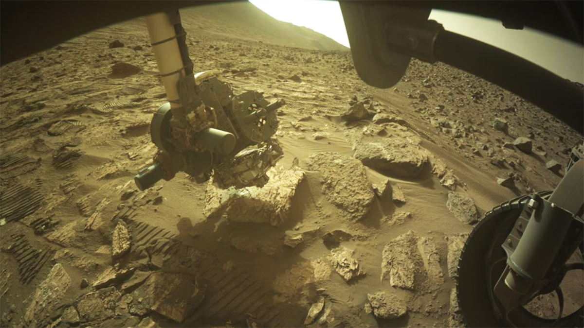
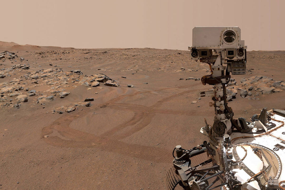
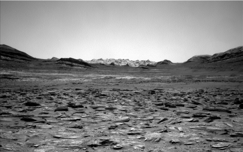
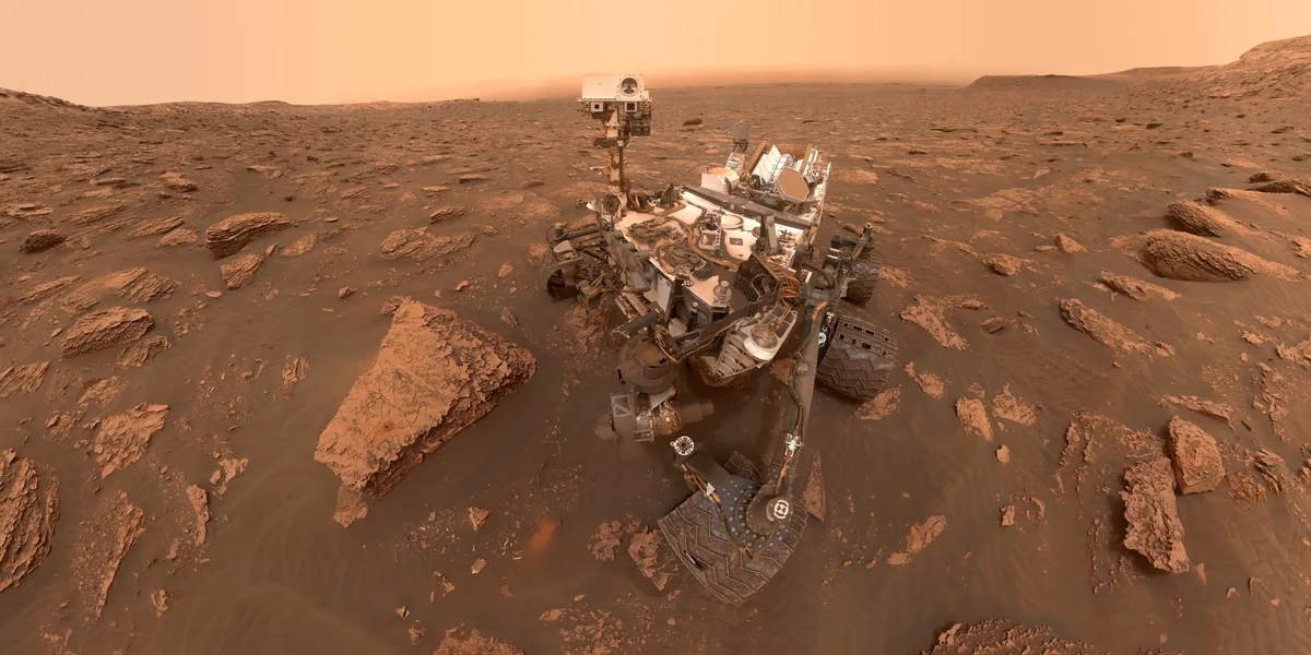
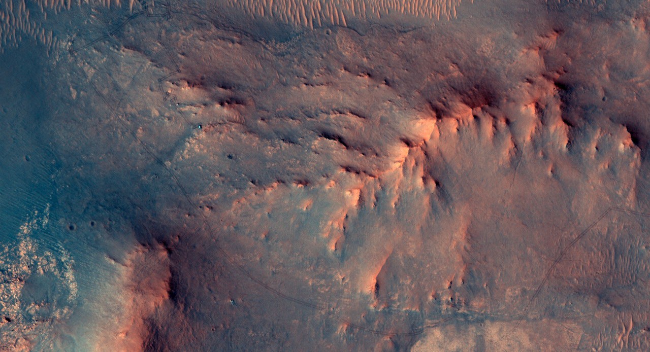
In the area Curiosity is currently exploring, the science team has mapped several areas with different-looking surface texture on the orbital images. If you wanted to have a look yourself at what there is to see, check the “Where is Curiosity?” map. You’ll discover different shades of orange and beige as well as more rough and more smooth-looking textures. This is what the geomorphologists in our team use to map the areas for exploration by the rover. Of course, we then supplement this all with ground-based images, including bespoke “drive direction imaging,” which is taken after each drive by the Mast Camera. Drive planning is done using a combination of all this information. So there shouldn’t be any surprises, right?
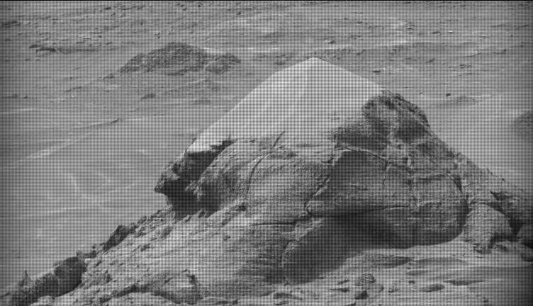
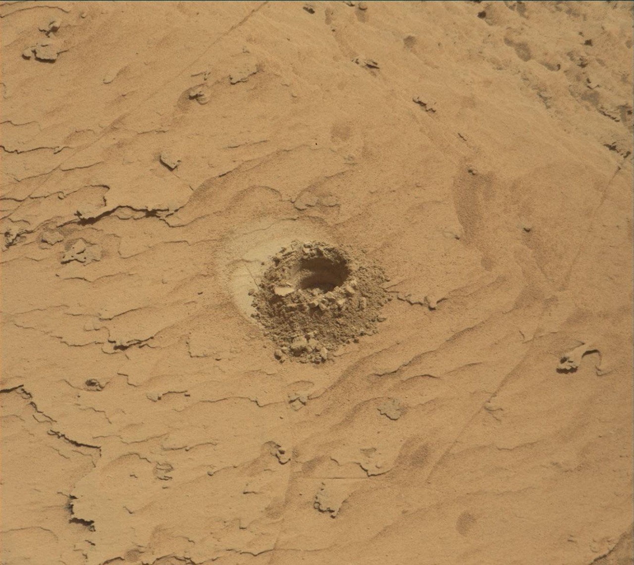
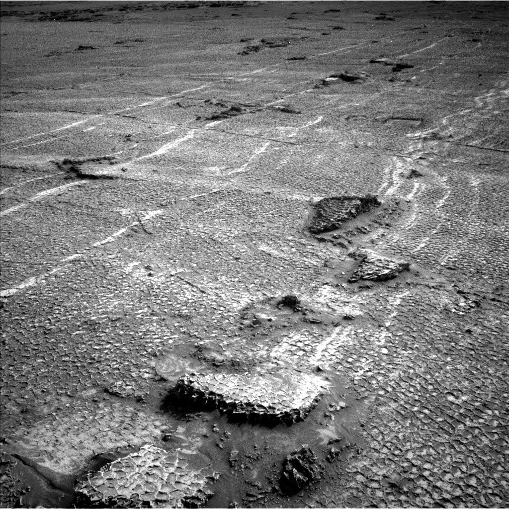
On Monday the team planned three sols in preparation for a Thursday planning to account for the U.S. federal holiday weekend. The workspace turned out to be a little spiky, so we could not find an area we could DRT. APXS still found one good bedrock target, “Rio Baker,” which also had MAHLI documentation. In addition, ChemCam investigated “Rica Aventura,” a textured bedrock, and “Tabebuia,” a darker-looking individual block, using its LIBS and conducted a passive spectral observation on a second dark float block called “Lago Ranco.” Of course, the team also wanted to look into the distance with ChemCam remote imaging, extending our investigation of the Cordillera base outcrop.