This coverage is made possible through a partnership between Grist and Verite News, a nonprofit news organization with a mission to produce in-depth journalism in underserved communities in the New Orleans area.
There’s an increasingly narrow strip of marshland in New Orleans that hardly anyone lives on, but without it, hundreds of thousands of people in Louisiana will face far greater risks from storms and floods.
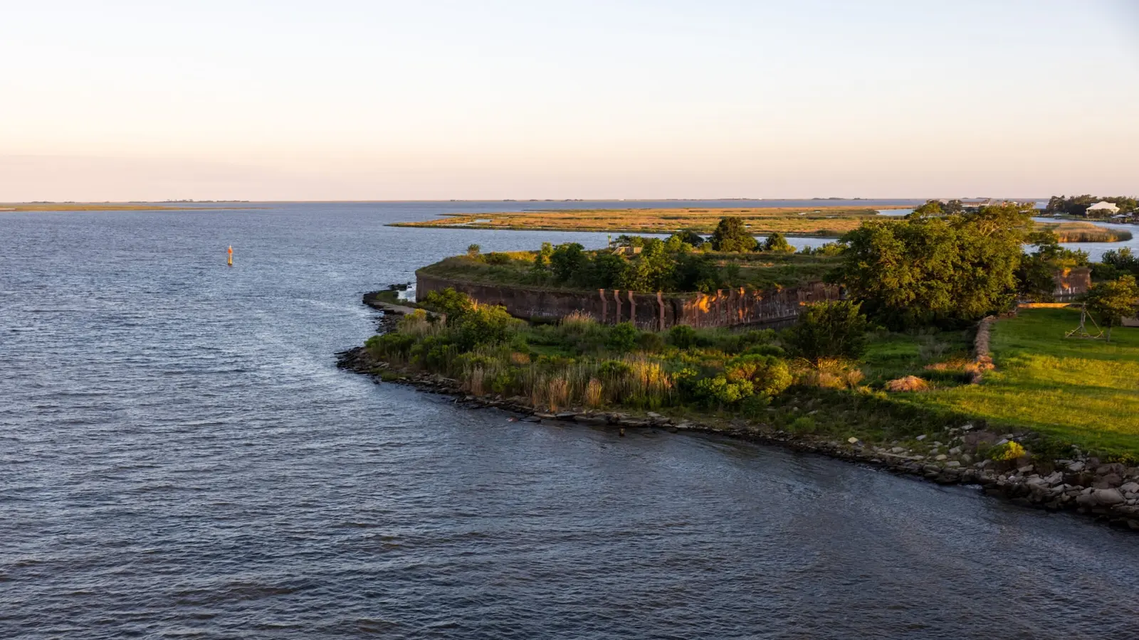
The area, commonly called the New Orleans Land Bridge, separates Lake Pontchartrain from the Gulf of Mexico and stretches from New Orleans East to St. Tammany Parish, a distance of roughly 20 miles. Like much of Louisiana’s coast, it’s disappearing at a rapid rate.
The on-again, off-again effort to restore the land bridge could get a jump-start next year with a $101 million project aimed at reviving a large patch of marsh that protects the mouth of Lake Pontchartrain, a shallow estuary whose waters swelled with a storm surge during Hurricane Katrina in 2005, contributing to catastrophic flooding in New Orleans.
“This land bridge is one of the most critical natural barriers protecting the city of New Orleans,” said April Newman, a project manager for the Louisiana Coastal Protection and Restoration Authority. “Without it, the New Orleans levee system would be much more vulnerable to overtopping or breaching.”