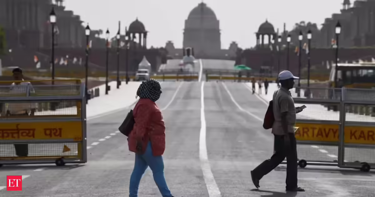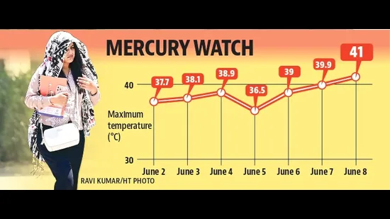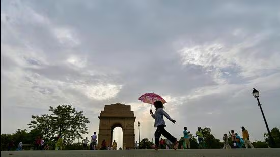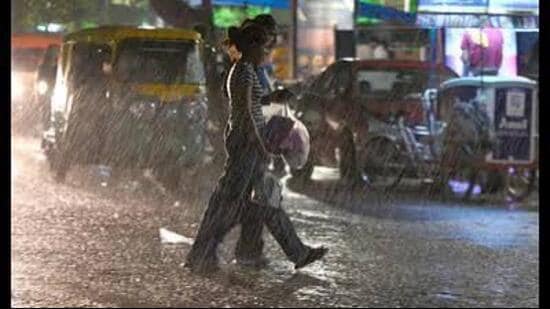
After making steady progress at the start of the month, the monsoon has hit a lull and is likely to be delayed by more than a week, the India Meteorological Department (IMD) said on Sunday. Though the city recorded 4.7-mm rain till 11:30 pm on Sunday amid thunderstorms with wind speeds going up to 80km/h, hot and humid weather is likely to continue this week.The maximum temperature rose from 38.6°C on Saturday to 39.8°C on Sunday, 2.3°C above normal. (HT File)The weatherman stated that the eastern limit of the monsoon system has been stuck in Bihar since June 12 while the southern limit has been stuck in Maharashtra since June 8. Conditions are becoming favourable for the monsoon system to start moving again toward northwest. However, it is likely to be delayed. The normal date for the onset of the monsoon in the city is June 26, but it is unlikely to arrive on time.IMD’s Chandigarh director Surender Paul said, “The system had hit a bit of a lull. We expect the monsoon can be delayed by 7-10 days.” He added that a meeting will be held in New Delhi in the coming days to further examine how delayed the system can get.Speaking about the delay, Paul said there are multiple reasons, but this has to do with little low-pressure activity in the Bay of Bengal. “Any low-pressure systems in the Bay of Bengal speed up the monsoon system towards our region but it has mostly remained absent this year.”El Niño impactEven as the United States of America has officially announced the formation of El Niño conditions in the Pacific Ocean, it is also likely to have an impact on the monsoon in our region. Paul said that because of this system, trade winds slow down, weakening the monsoon. It can not only delay the system but also lead to below-average rainfall. Paul said that it is a complex system and different variables are at play so the monsoon can strengthen and advance rapidly once it sets in. However, it is unlikely to reach the city before the first week of July and is more likely to take till the second week of next month.Last year, the onset of the monsoon was ahead of schedule (June 26). From 2020 till 2024, the monsoon arrived in June, barring 2024 when it was declared on July 1 in the city.According to the IMD, the onset is declared when the monsoon enters the region and continuous rainfall is recorded across the region for two days. The prevailing wind systems in the region are also important for declaring the onset of monsoon as most of the rain should come from the easterly winds. Another sign is when humidity starts rising.Hot-humid weather this weekThe western disturbance (WD) active over the region is also likely to dissipate in the coming days. While cloudy weather can continue till Tuesday, clear skies are likely for the rest of the week. Because of the WD and the rain in other parts of the region, humidity here has also increased. Even though the temperature is not as high as it was in May, the humidity is starting to make people uncomfortable. Only 35mm rain has been recorded so far this month, which is 61.7% below normal for the corresponding period.The maximum temperature rose from 38.6°C on Saturday to 39.8°C on Sunday, 2.3°C above normal. The minimum temperature fell from 26.3°C on Saturday to 25°C on Sunday, 2.6°C below normal. In the next three days, the maximum temperature will remain between 36°C and 38°C while the minimum temperature will remain between 25°C and 26°C
Chandigarh: Monsoon delayed, onset likely in first week of July
The weatherman stated that the eastern limit of the monsoon system has been stuck in Bihar since June 12 while the southern limit has been stuck in Maharashtra since June 8
603 words~3 min read