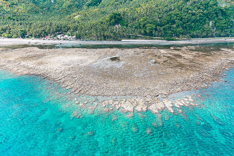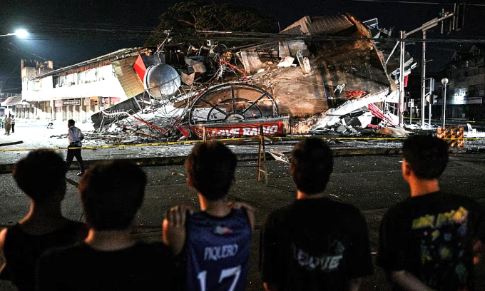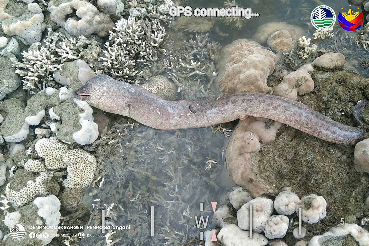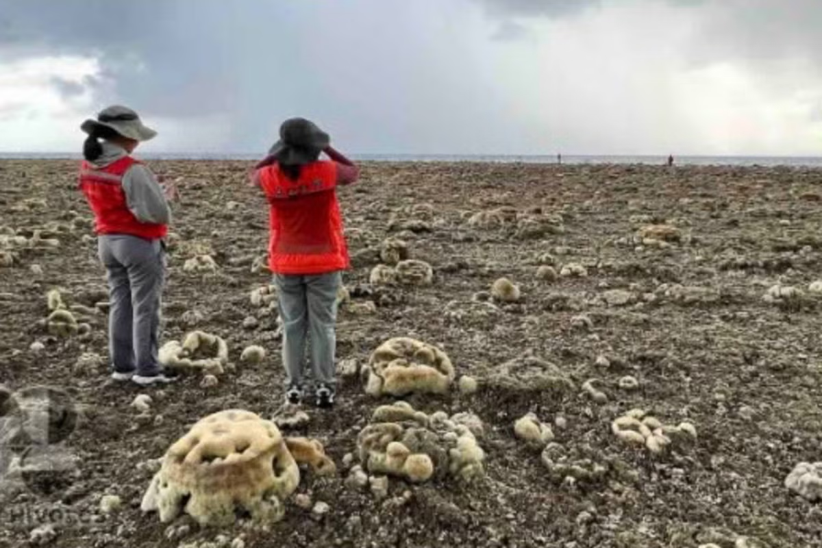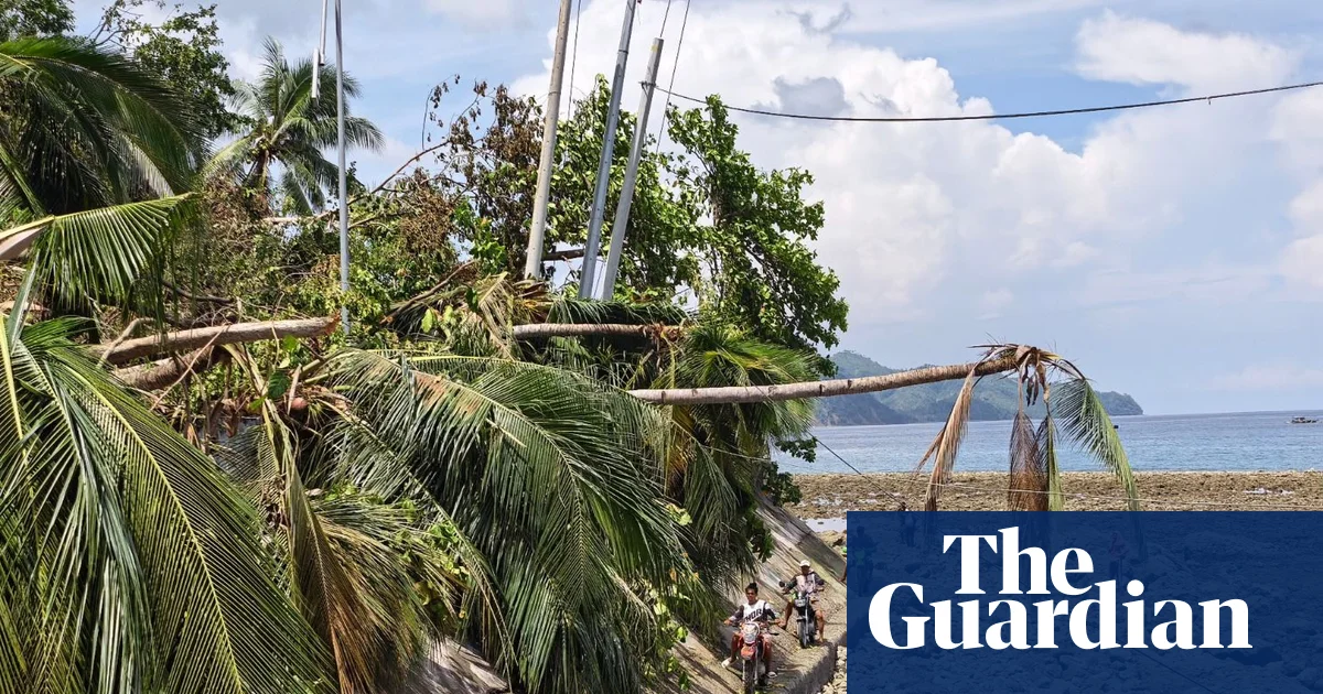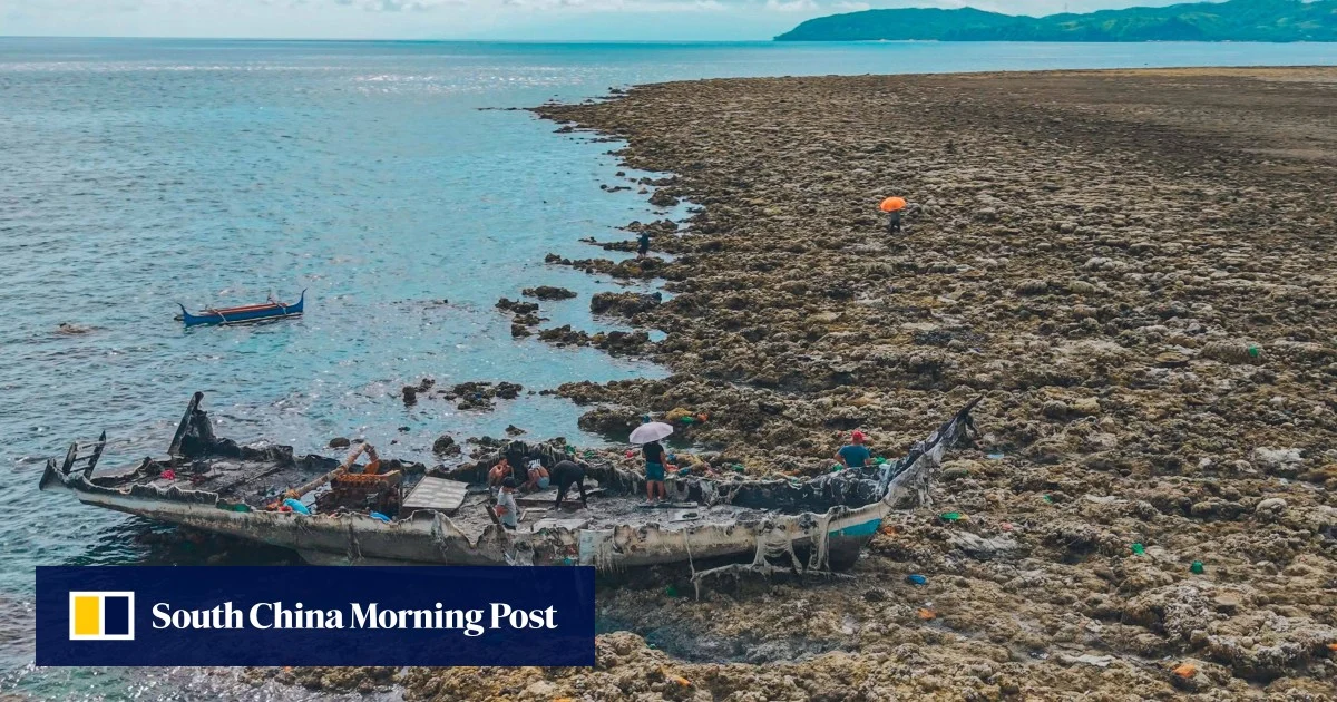
Arsenio Butil Jnr fell to his knees and began to pray when last week’s deadly 7.8-magnitude earthquake began shaking his home on the coast of the southern Philippines.When he opened his eyes, he saw a once-familiar shoreline changing in real time, with swathes of previously submerged coral suddenly pushing above the waterline.The June 8 quake, driven by a shifting of the nearby Cotabato Trench, toppled buildings, triggered landslides and killed at least 76 people on the southern island of Mindanao.The tectonic forces at work also thrust chunks of the island’s coastline upwards in a phenomenon known as “coastal uplift”, leaving stretches of shore unrecognisable to families who have spent their whole lives there.Corals are exposed after coastal uplift following an earthquake along the Pangyan Marine Sanctuary in Glan, Sarangani, on June 8. Photo: AFPDuring a visit to the area, fishing boats that had once been at the water’s edge could be seen on the wrong side of a wall of jagged, now-dead coral stretching for kilometres in both directions.
Deadly Philippines quake permanently alters Mindanao coastline
The tectonic forces that caused last week’s 7.8-magnitude quake also thrust chunks of the island’s coastline about two metres upwards.
TL;DRAI
A 7.8-magnitude earthquake on June 8 permanently uplifted Mindanao's coast, exposing kilometers of dead coral. Underscores infrastructure vulnerability in seismic zones and highlights disaster resilience considerations for data center siting and critical facility planning in the region.
169 words~1 min read