Hwang Joo-young
Staff reporter at The Korea Herald’s National Desk, based in Seoul. Covers South Korea’s national security and foreign policy, with a focus on the Defense, Foreign and Unification Ministries, as well as the National Assembly.Before entering journalism, served as an Air Force officer. Experience includes providing translation and interpretation, as well as strategic input for planning efforts, at the ROK-US Combined Forces Command. During three years of military service, took part in six major South Korea-US combined exercises.
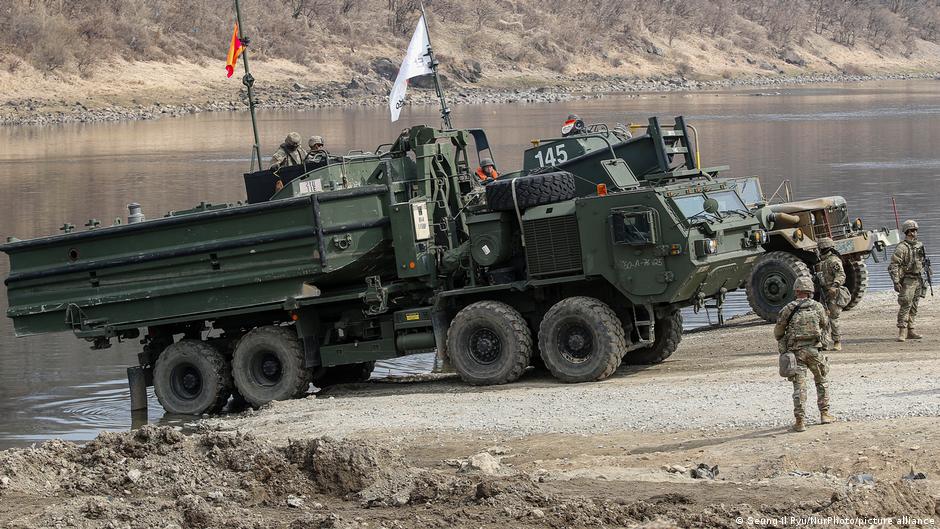
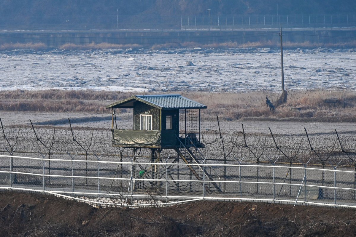
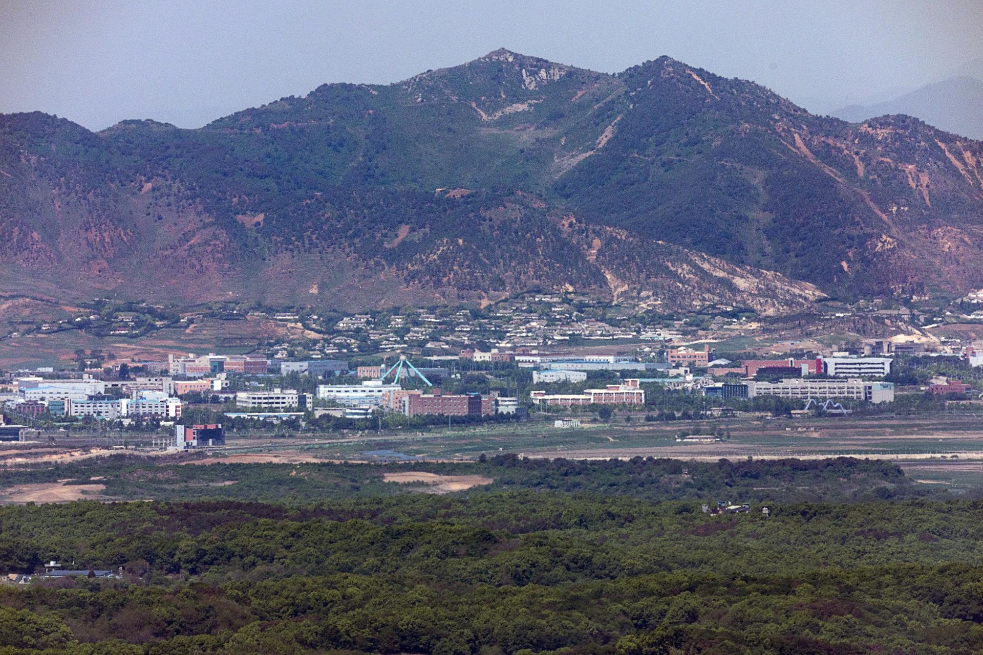
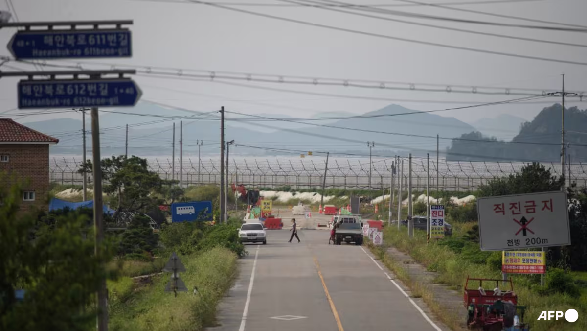
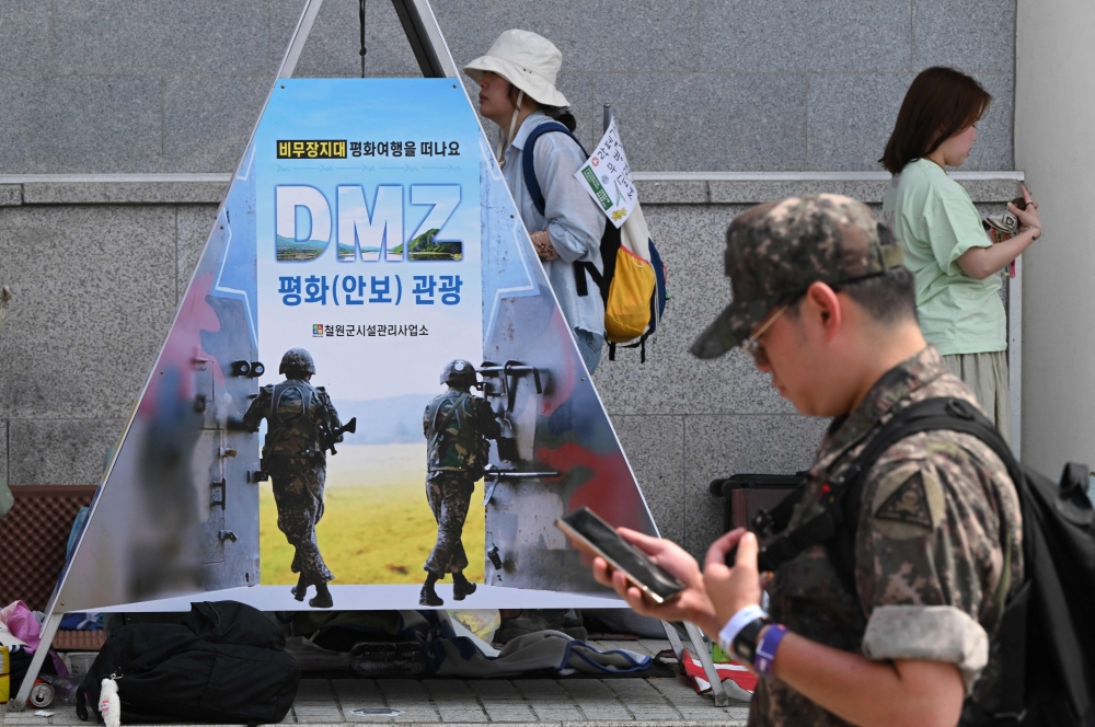
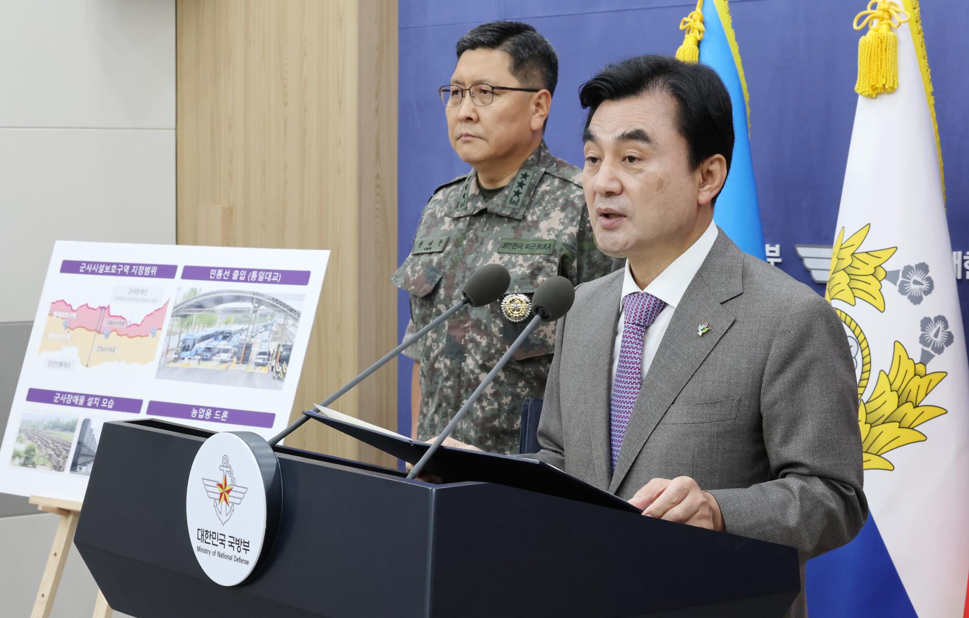
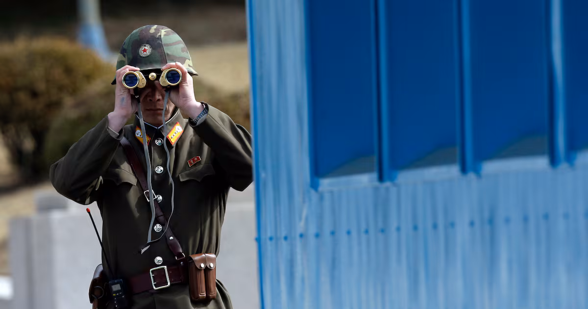
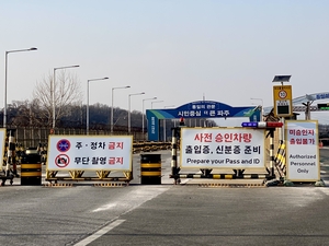
Civilian Control Line to be adjusted to average 6 km from MDL A checkpoint is set up near the Civilian Control Line in Paju, Gyeonggi Province, on Feb. 1. (Hwang Joo-young/The Korea Herald) South Korea's land-use restrictions near the inter-Korean border are to be eased, opening up as much as 260 square kilometers for civilian use and development, the Ministry of National Defense said Wednesday.The move, which will ease restrictions in an area just under half the size of Seoul, is part of the Lee Jae Myung administration’s push for civil-military coexistence. Seoul is about 605 square kilometers.Under the plans, the Defense Ministry will ease military land-use restrictions near the inter-Korean border and move the Civilian Control Line closer to the Demilitarized Zone.The plan is aimed at reducing long-standing burdens on border-area residents while reflecting changes in the military’s operational environment, the ministry explained.It centers on easing or lifting restrictions on military protection zones that have limited civilian access, construction and development in areas near the inter-Korean border for decades.“Past military facility regulations were appropriate for their time, but today’s reality calls for a new approach,” Defense Minister Ahn Gyu-back said during a press briefing at the ministry headquarters in Seoul.Ahn said easing the regulations had become an “inevitable choice” to respond to changes in the security environment and allow the military to focus on core combat missions.At the center of the plan is the Civilian Control Line, a legal boundary restricting civilian access near the DMZ to ensure military operations and public safety.The line was first established by the US Eighth Army in 1954, a year after the armistice that halted the 1950-53 Korean War, to protect military facilities and maintain security near the inter-Korean border.The ministry said the line, currently located an average of about 8 kilometers south of the Military Demarcation Line, could be moved northward to an average distance of around 6 kilometers from the MDL.The adjustment is expected to ease about 250 to 260 square kilometers of controlled protection zones into restricted protection zones.In controlled protection zones, civilian access and new construction are tightly limited, while restricted protection zones allow development through consultation with the military.The ministry said it will begin adjusting the line in phases from 2027 after relocating civilian control checkpoints and reinforcing practical control measures, including fences and closed-circuit television systems.A ministry official said the adjustment reflected changes in operational plans, the security environment, public convenience and safety concerns, including unidentified mine areas.“The deeper the civilian control zone extends southward, the wider the operational area becomes,” the official said. “Moving the line northward would help create conditions for troops to focus more on core general outpost guard operations.”The official has also cited a shrinking pool of military personnel as one of the factors behind the broader regulatory overhaul.The ministry stressed, however, that the move is not linked to any reduction in guard operations along the front-line general outpost line.Separately, the ministry plans to lift about 450 square kilometers of restricted protection zones in areas south of the MDL near the inter-Korean border, an area equivalent to around 150 times the size of Yeouido.Once restricted protection zones are lifted, landowners will be able to exercise property rights without military consultation under the Military Bases and Installations Protection Act.The total area to be eased or released under the plan is estimated at about 700 square kilometers, or slightly less than 10 percent of all military facility protection zones, though the figures could change after detailed surveys.Operational needs reflectedThe ministry said the new approach would reflect actual operational needs, including changes in weapons systems and the battlefield environment.It plans to conduct operational reviews and land surveys by individual military units in the second half of this year and lift restrictions in areas where preparations are completed.The ministry, however, declined to disclose specific areas, citing real estate speculation concerns, and said they would be announced after reviews by local military units, the Joint Chiefs of Staff and the ministry.The plan also includes removing 23 military obstacles, including anti-tank barriers, concrete dragon’s teeth and rockfall obstacles, in areas such as Paju, Gyeonggi Province, and Yanggu, Gangwon Province, in 2027 at the request of local governments.A full survey will be conducted in the second half of this year to establish a phased improvement plan.Asked whether the removal had taken into account North Korea’s potential anti-tank attacks, a ministry official said the decision reflected changes in operational plans, enemy threats and South Korea’s military capabilities, stressing that obstacles still deemed necessary would be maintained.The official said some obstacles had lost utility as new roads and bypass routes have reduced the effectiveness of blocking specific routes.The ministry also plans to introduce a mobile and internet-based access application system for areas near the Civilian Control Line from 2027 to reduce delays caused by in-person and paper-based procedures.Procedures for agricultural drone flights in border areas will also be simplified, while local governments will receive tailored information on unused military land for possible development projects.CFC operations not affectedThe ministry stressed that the planned adjustment is separate from South Korea-US combined operational arrangements.A ministry official said the Civilian Control Line is a legal boundary under South Korea’s military facility protection law to regulate civilian access and land use, not a concept under combined military operations.“This is an entirely separate issue from South Korea-US combined operations,” the official said, adding that the adjustment does not affect the Korea Theater of Operations or any operational area under the Combined Forces Command.The ministry said the plan is intended to strike a balance between national security and public convenience, while addressing the long-standing burden placed on residents in border areas. A view of the Imjin River near the DMZ, seen from Dokgae Bridge in Paju, Gyeonggi Province, on Feb. 1. (Hwang Joo-young/The Korea Herald)