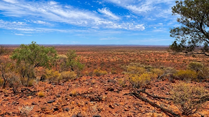
TORONTO, ON / ACCESS Newswire / June 11, 2026 / High Tide Resources Corp. ("High Tide" or the "Company") (CSE:HTRC) is pleased to announce that a high‑resolution drone magnetic survey has commenced at the under-explored eastern portion of the Labrador West Iron Project. The geophysical program is now underway and will provide detailed magnetic data to support ongoing exploration and drill targeting.
Steve Roebuck, President & CEO of High Tide, commented: "Launching the drone magnetic survey marks another important step in expanding our understanding of the eastern portion of the property. This area has seen very limited exploration despite a 2010 IOC drill hole intersecting nearly 100 metres of 26.2% Fe. Prospecting has broadened the scope of potential drill targets, and this survey will help refine those opportunities with the high-resolution magnetic data. The data collected will directly support our targeting strategy as we advance toward the next phase of drilling and continue to build long‑term value for the Project."
Drone Magnetic Survey Now Underway
The drone magnetic survey is being flown over the eastern portion of the property, covering approximately 1,460 hectares. The program is designed to generate high‑resolution magnetic data capable of mapping near‑surface magnetite-specular hematite iron oxide mineralisation and is and upgrade to the widely spaced historical Total Magnetic Intensity data collected regionally by IOC in 2001.