Show Caption
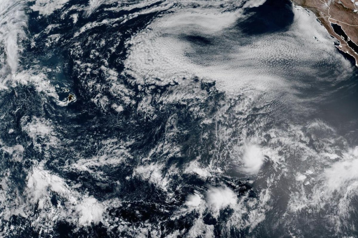
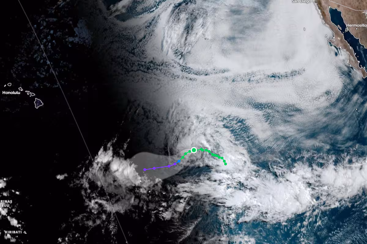
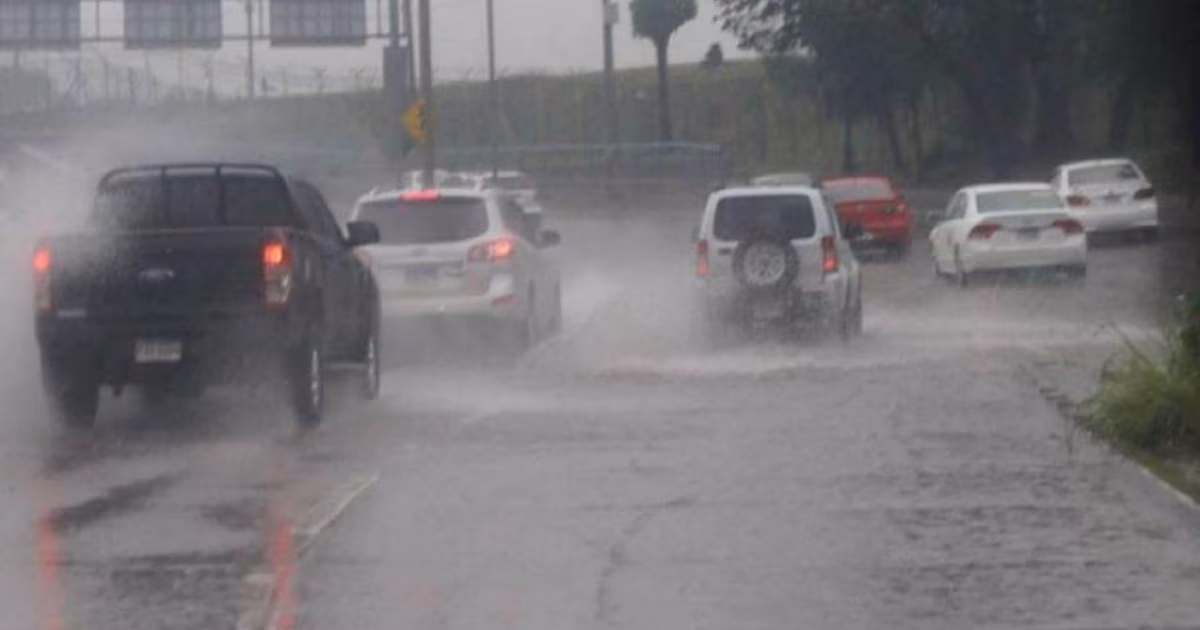
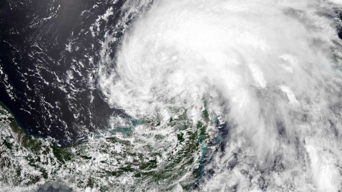
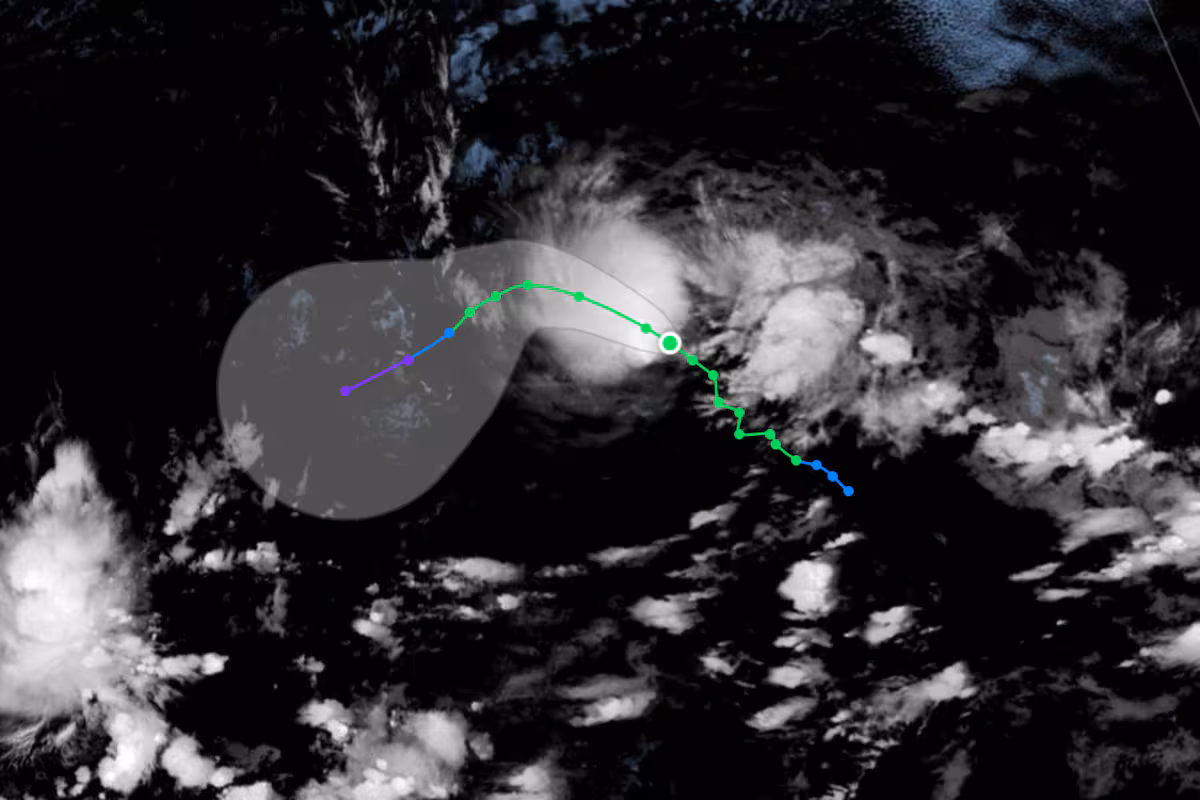
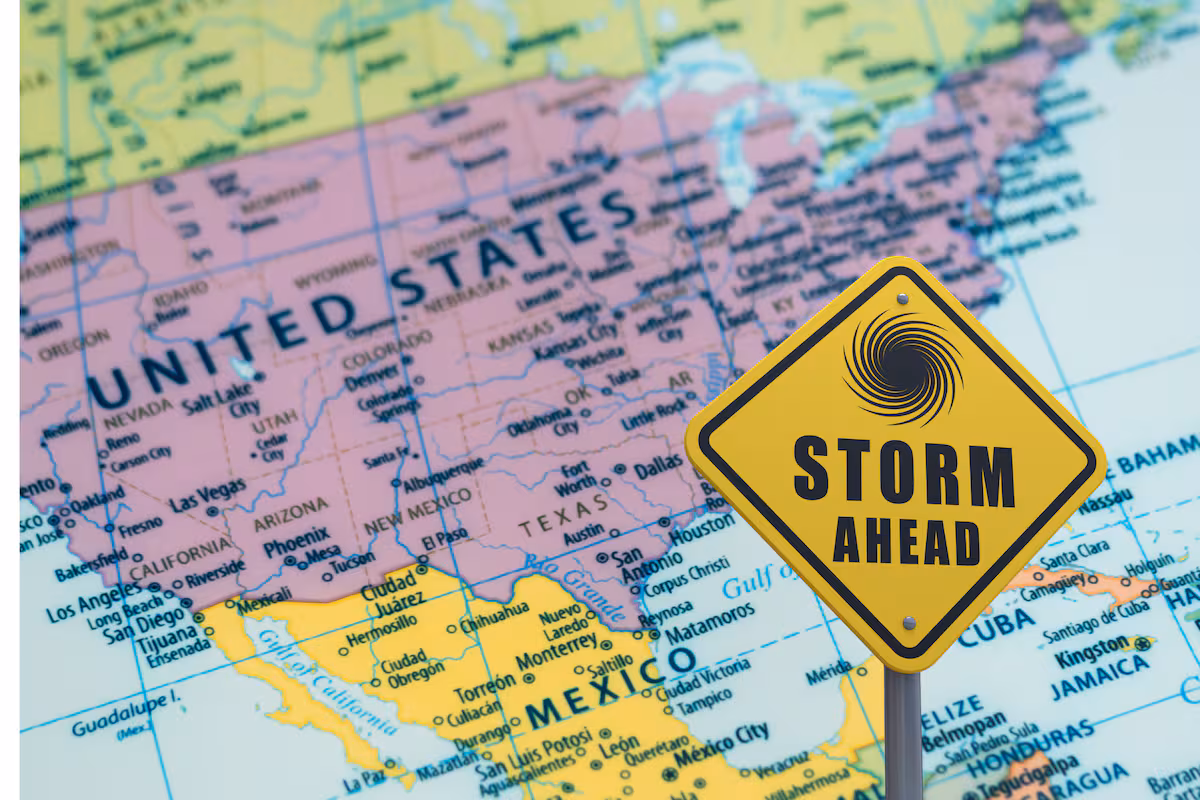
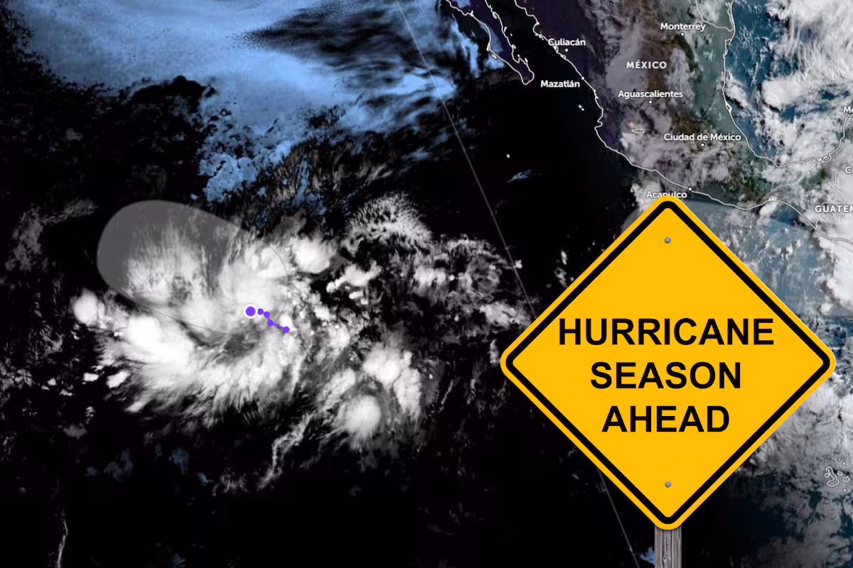
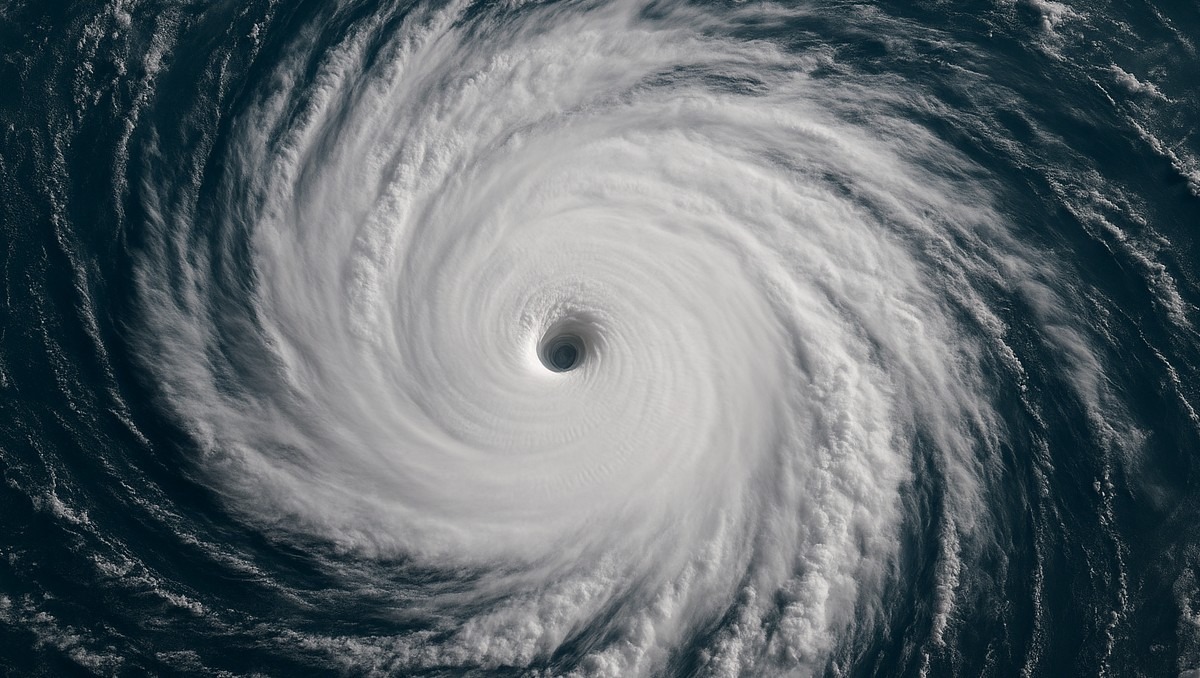
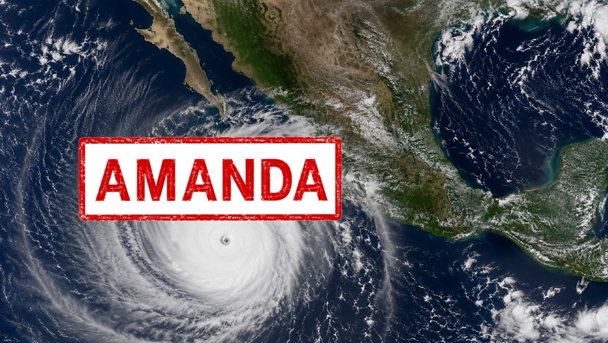
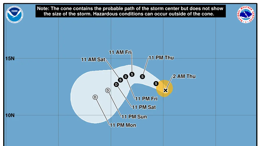
The first named storm of the 2026 hurricane season – Tropical Storm Amanda – formed in the eastern Pacific Ocean on Wednesday, June 3, according to the National Hurricane Center.Hurricane center forecasters said in an early morning June 4 advisory Amanda was located about 1,500 miles west-southwest of the southern tip of the Baja California Peninsula with maximum sustained winds near 40 mph.The storm is moving toward the northwest around 8 mph, forecasters said, with a gradual turn toward the west-northwest and west expected during the next couple of days, with a turn toward the southwest at a slower forward speed expected this weekend.Amanda is expected to strengthen some throughout the day on Thursday, June 4, however weakening is expected to begin by Friday night or Saturday, the NHC said. The storm does not currently pose any threat to land.Tropical Storm Amanda path trackerThis forecast track shows the most likely path of the center of the storm. It does not illustrate the full width of the storm or its impacts, and the center of the storm is likely to travel outside the cone up to 33% of the time.Tropical Storm Amanda spaghetti modelsIllustrations include an array of forecast tools and models, and not all are created equal. The hurricane center uses only the top four or five highest-performing models to help make its forecasts.NHC tracking 2 other systems in the Pacific OceanIn addition to Amanda, the NHC said it is also keeping tabs on two other systems in the eastern Pacific basin.Forecasters said an area of low pressure is forecast to form offshore of Central America and southern Mexico late this week, with environmental conditions appearing conducive for the system to strengthen into a tropical depression late this weekend or early next week.The hurricane center says the system has a 50% chance of tropical development within the next week.Another area of low pressure is forecast to form offshore of southern and southwestern Mexico early next week, with environmental conditions also appearing conducive for some gradual development into early next week.A tropical depression could form during this time as the system moves northward or northwestward near the coast of southern Mexico, forecasters said, giving the storm a 60% chance of tropical development within the next seven days.Pacific storms seldom hit landUnlike storms in the Atlantic basin, the vast majority – roughly 85% to 90% – of storms that form in the Pacific don't ever threaten land and often spin harmlessly out to sea. However, they can occasionally impact Hawaii, the west coast of Mexico or the Southwest U.S. with heavy flooding and rainfall.Gabe Hauari is a national trending news reporter at USA TODAY. You can follow him on X @GabeHauari or email him at Gdhauari@gannett.com.