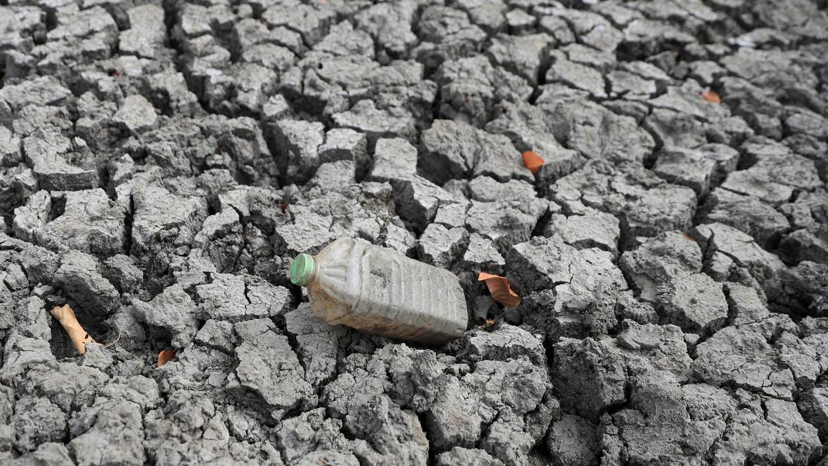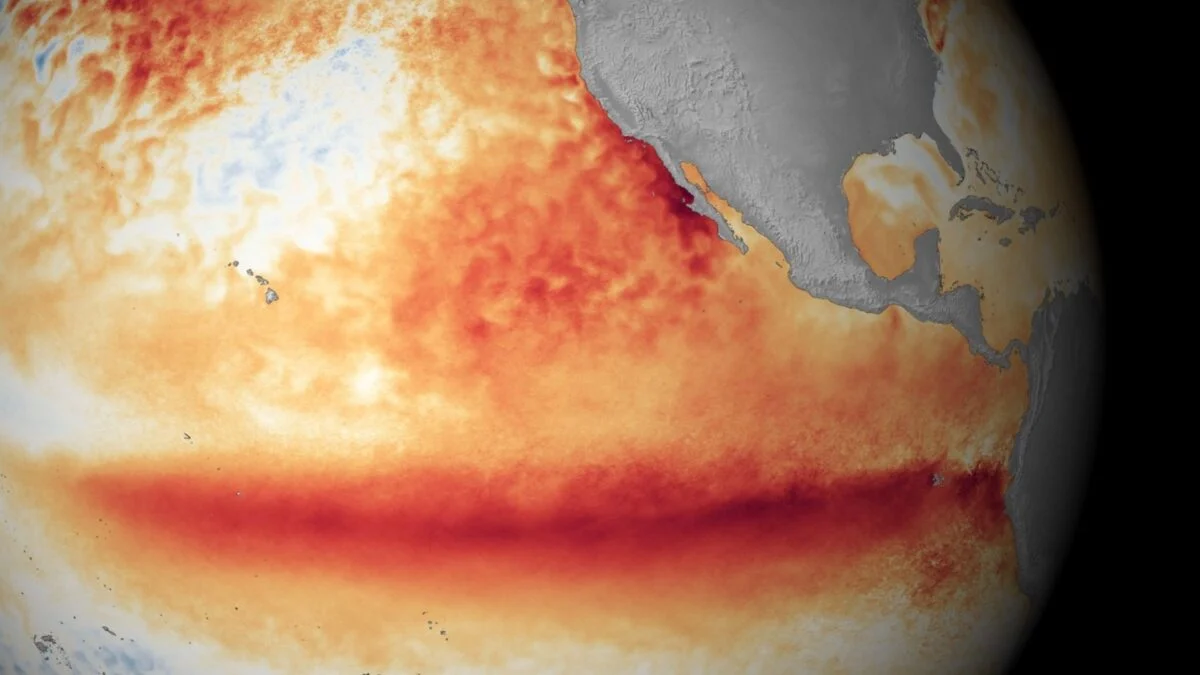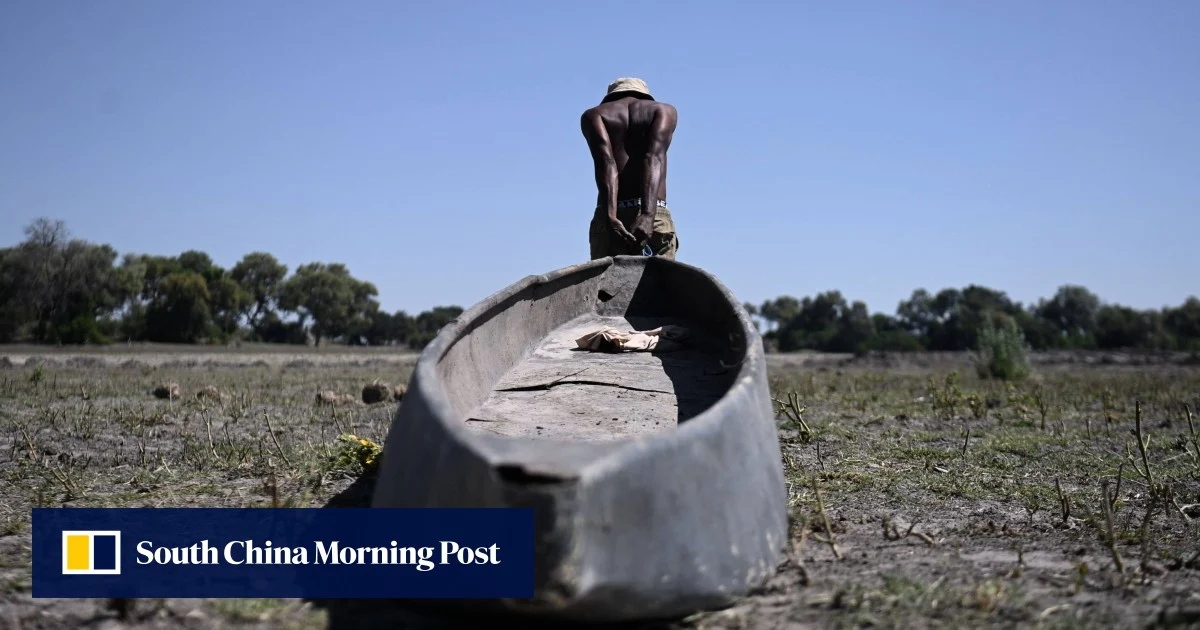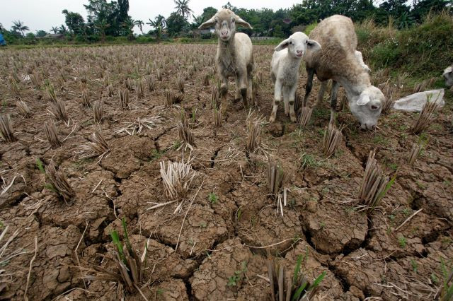
The United Nations weather agency forecast on Tuesday a moderate or possibly strong El Nino that could drive up global temperatures and increase the risk of extreme weather over the coming months. El Nino is a period warming of sea surface temperatures in the central and eastern Pacific Ocean, which typically lasts between nine and 12 months, according to the World Meteorological Organization.
The WMO said warm ocean waters were driving El Nino’s development and predicted above-average temperatures in most parts of the world from June to August. The WMO said it is likely El Nino will continue until November.
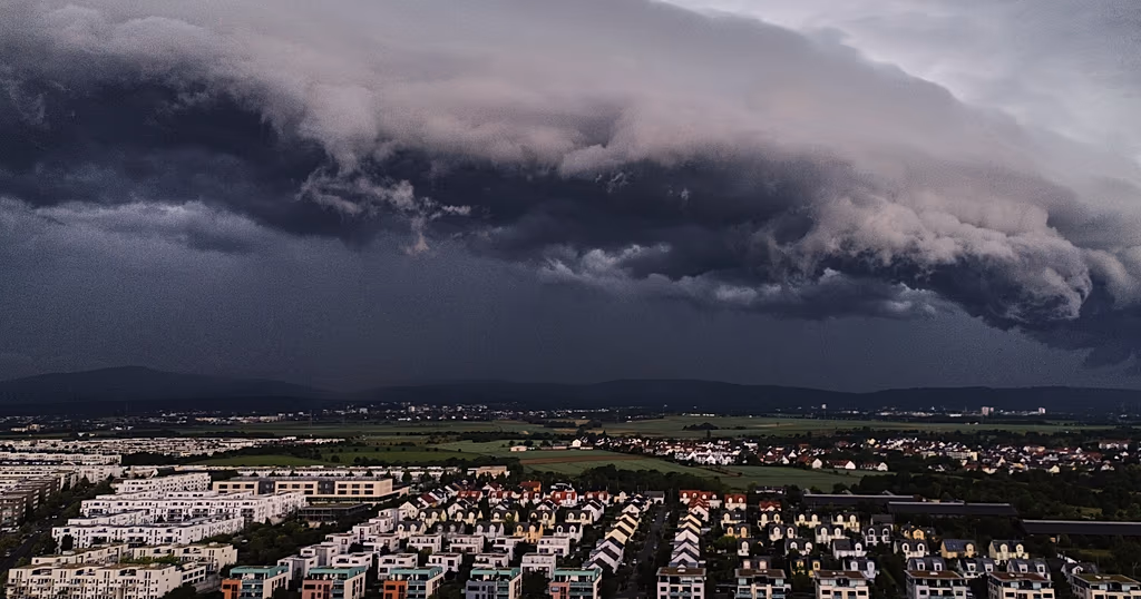
“We need to prepare for a potentially strong El Nino event - which will exacerbate drought and heavy rainfall and increase the risk of heatwaves both on land and in the ocean," said WMO Secretary-General Celeste Saulo.
The weather pattern is known to disrupt regional climates, potentially bringing warmer temperatures across the globe, while increasing rainfall to southern South America, the southern United States, parts of the Horn of Africa and central Asia.
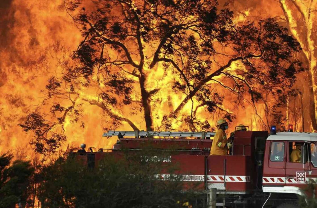
It can also cause drought in Australia, central America, Indonesia, and sections of southern Asia, and lead to the formation of hurricanes in the central and eastern Pacific Ocean, the WMO said.