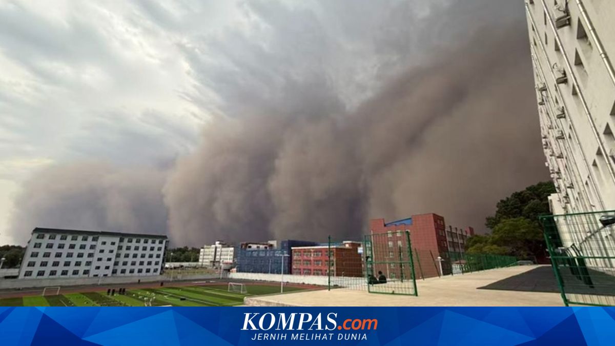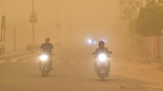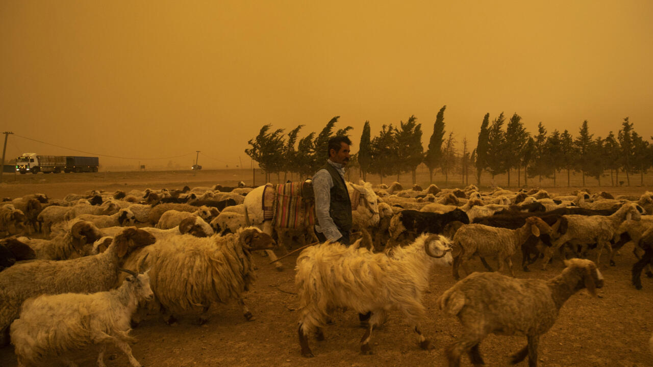
The city of Harbin in Northeast China was hit by extremely strong winds and sandstorm at around 5 pm on Sunday, Global Times reported. The sandstorm was so severe that it led to the uprooting of trees, flying of roof sheets and the gusts reached level 13. The visibility in some areas dropped to less than 100 meters, as fierce winds swept sand and dust through urban areas in China's Heilongjiang Province, the report stated. The fierce winds swept sand and dust through urban areas and briefly turned daytime as dark as night, the China Central Television (CCTV) News reported.ALSO READ: LPG Cylinder Price Today (June 1) Sky turns dark as powerful sandstorm sweeps through HarbinResidents of Harbin witnessed an unusual weather event on Sunday when strong winds and blowing sand engulfed parts of the city and turned the sky dark in the middle of the day. Videos shared online showed a massive wall of dust moving across the city, with visibility dropping as the sandstorm advanced.Watch the video here— yangyubin1998 (@yangyubin1998) Temperatures soared before weather took a dramatic turnAccording to meteorologists, Heilongjiang province experienced unusually warm conditions during the day with temperatures in many areas crossing 30°.Harbin recorded a high of 35.3°C, creating ideal conditions for atmospheric instability. The intense heat helped build up energy in the atmosphere before weather conditions changed rapidly later in the afternoon.Cold air triggered violent weather systemAround 3 pm, a powerful cold air mass swept across Heilongjiang from west to east. As the cold air collided with the existing warm air, it triggered a fast-developing squall line — a band of severe thunderstorms known for producing strong winds and intense weather. The weather system quickly spread across central and western parts of the province, including Harbin.The sudden clash led to:Powerful gusty windsThunderstormsLightning activityRapid cloud formationBlowing sand and dustWhy did a sandstorm occur in Harbin?Experts noted that sand and dust storms are relatively uncommon in China's Harbin during May. Weather analysts explained that strong southwesterly winds carried dust from dry and sandy regions, including parts of western Jilin Province and Inner Mongolia.As the winds intensified, loose soil and dust were lifted into the air and transported hundreds of kilometres, eventually reaching Heilongjiang. According to weather experts, the temperature difference between the incoming cold air and the existing warm air was unusually large.One analyst described the event as being similar to "winter-level cold air colliding with summer-level warm air," creating exceptionally strong winds and severe convective weather. The sharp contrast helped fuel the intensity of the storm system.Trees uprooted, vehicles damagedThe extreme weather caused disruption across several parts of Harbin and led to damages including:Trees being uprootedDamage to parked vehiclesPower line disruptionsDebris scattered across roadsEmergency teams were deployed to clear fallen trees, restore electricity and remove debris from affected areas.More storms forecast this weekWeather officials have warned that unstable conditions are expected to continue across Heilongjiang over the coming days. The province may experience:Frequent rainfallThunderstormsStrong windsHailstormsSharp temperature swingsSome areas could also face severe convective weather, including the possibility of tornadoes accompanied by damaging winds and hail. Authorities have advised residents to stay alert as weather conditions remain highly unpredictable throughout the week.
'Day turned into night': Watch giant wall of dust swallowing China's Harbin as rare sandstorm darkens skies with 13-level winds, flying debris and near-zero visibility
Harbin, China, was struck by a severe sandstorm on Sunday, with winds reaching level 13, uprooting trees and reducing visibility to under 100 meters. The storm, fueled by a clash between unusually warm air and a powerful cold front, briefly turned day into night. Residents are warned of continued unstable weather, including potential tornadoes.
526 words~2 min read