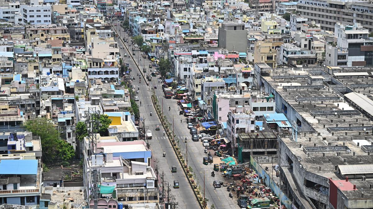
The commercially busy Panja Centre in Vijayawada wears a deserted look due to scorching heat on Sunday.
| Photo Credit: K.V.S. Giri
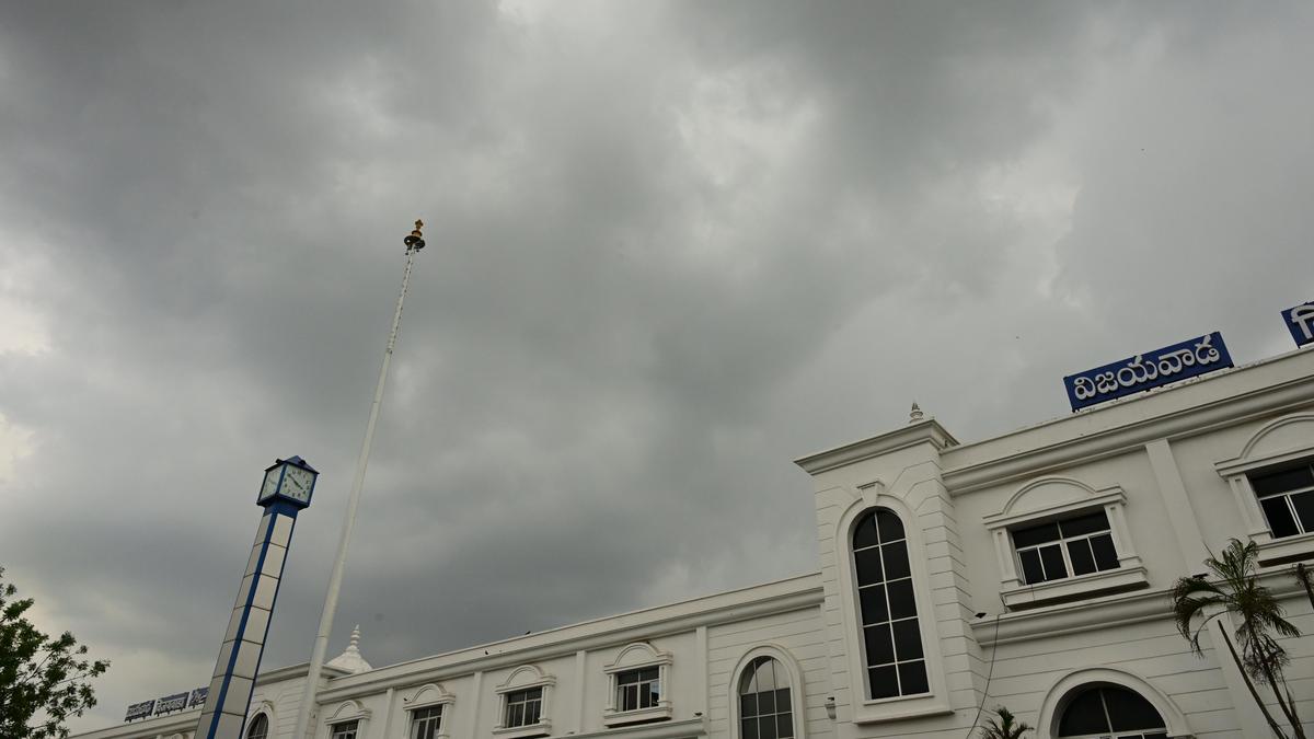
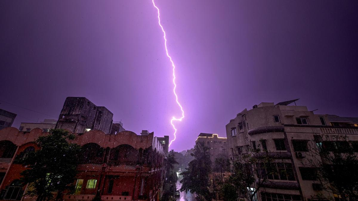
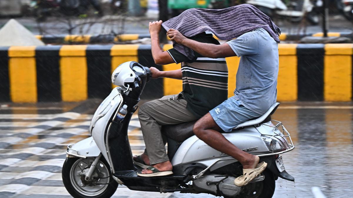
Varying weather conditions are likely to continue in the State on Monday as well, as light showers, along with thunderstorms, are expected in Rayalaseema and hot weather may persist in other parts of the State. However, there is no heatwave alert on Monday.On Sunday (May 31), heatwave conditions were experienced in five mandals only, but hot conditions persisted.According to the A.P. State Disaster Management Authority (APSDMA), the day’s highest maximum temperature of 44.3°C was recorded at Atchampeta in Palnadu district, followed by Kavali in Nellore district (43.9°C), Vuyyuru in Krishna district and Nandigama in NTR district (43.7°C), Kopperapadu in Prakasam district (43.6°C), Kukunoor in Eluru district (43.4°C), Kunavaram in Polavaram district (43.4°C), Nandanamarella in Markapuram district (43.4°C), and Doravarisatram in Tirupati district (43.3°C).At the same time, a few places in South Coastal Andhra Pradesh and Rayalaseema received light to moderate rain. Vadiampeta of Bukkaraya Samudram received the day’s highest of 36 mm rain, followed by Kondapuram in Nellore district (30.25 mm), Thipaipalem in Markapuram (29.75 mm).According to the India Meteorological Department (IMD), there is a trough that runs from a cyclonic circulation over Vidarbha to the cyclonic circulation over East Central Bay of Bengal across South Chhattisgarh, South Odisha, North Coastal Andhra Pradesh and West Central adjoining northwest Bay of Bengal at 0.9 km above mean sea level.Under its influence, light to moderate rains, accompanied by thunderstorms and lightning, are likely on Monday in Anantapur, Sri Sathya Sai, Kadapa, Annamayya, and Chittoor districts.The IMD has forecast isolated light showers and thunderstorms across the State until June 7. No heatwave alerts have been issued for this week. Published - May 31, 2026 09:04 pm IST