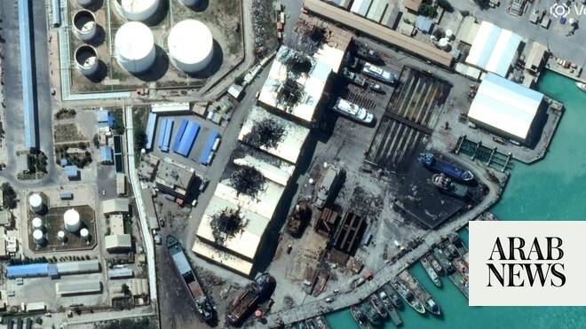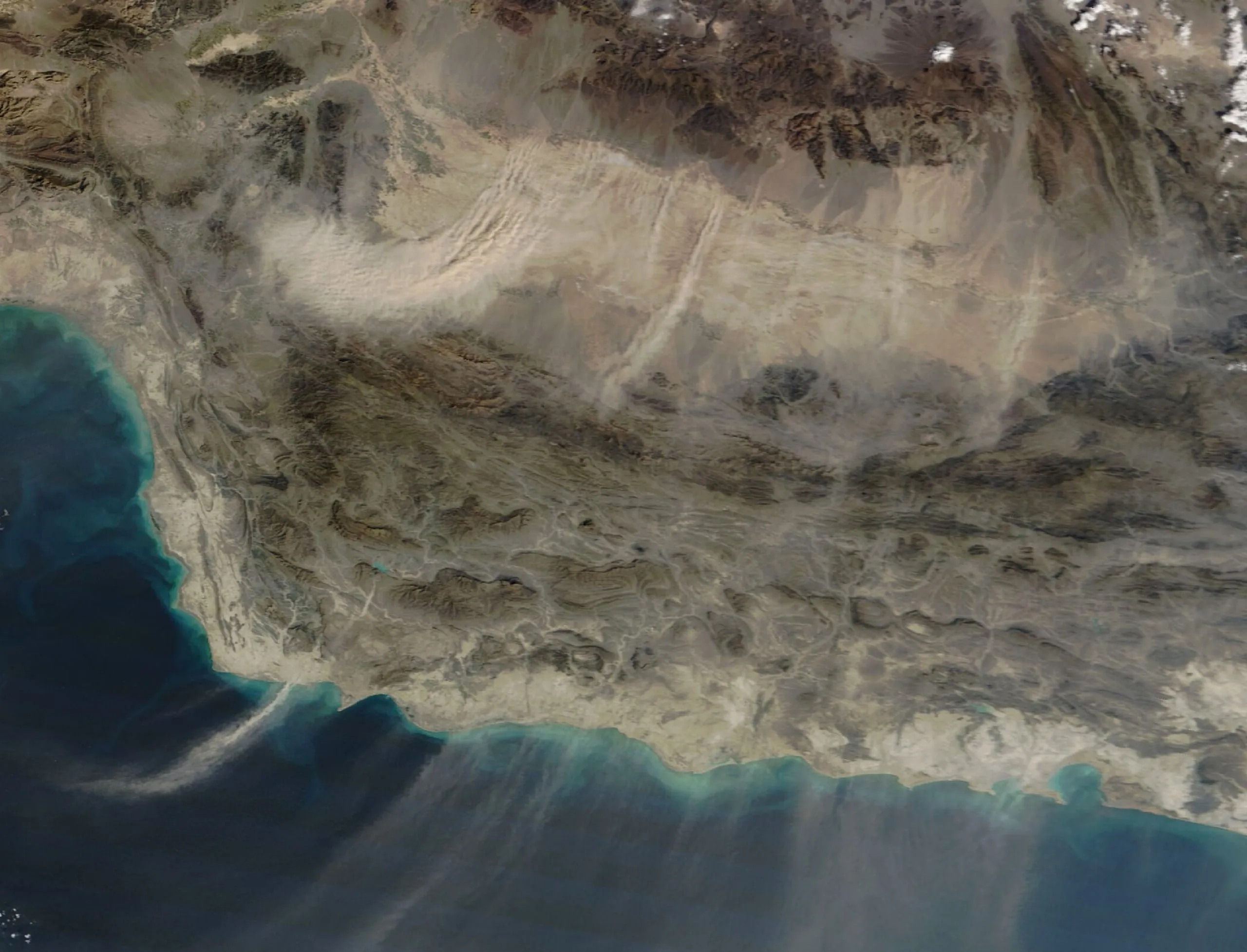
We are in the geospatial era of warfare in which information derived from satellites is as strategically critical as territorial control. The progressive dissolution of the distinction between the civil and military domains, made possible by commercial and dual-use space systems, has turned visibility into a weapon of war. This transformation is playing out in the current United States-Iran conflict through two developments: the reports of Iran using Chinese-connected commercial satellite systems (Earth Eye Co and Emposat networks) to produce intelligence on U.S. assets, and the constraining of satellite imagery over Iran and other war zones by Planet Labs at the behest of the state.
In tandem, these events presage a systemic shift in warfare. Alongside technological developments is a new structural transformation of warfare: geospatial and dual-use technological ecosystems are increasingly integral to the conduct of war, blurring traditional boundaries between counterforce and counter value targets.
The most immediate expression of this shift is the changing role of satellite-derived intelligence in conflict. High-resolution Earth observation, once monopolized by states, is now produced and distributed through commercial constellations capable of tracking deployments, assessing strike damage and enabling operational planning in near real time. As a result, intelligence that once resided exclusively within classified systems is now partially embedded in commercial markets.