3 min readImage of the Day for May 22, 2026The strongest of several twisters to touch down in the southern part of the state in early May 2026 left a visible path of damaged vegetation.NASA Earth ObservatoryMay 22, 2026 Article
View more Images of the Day:
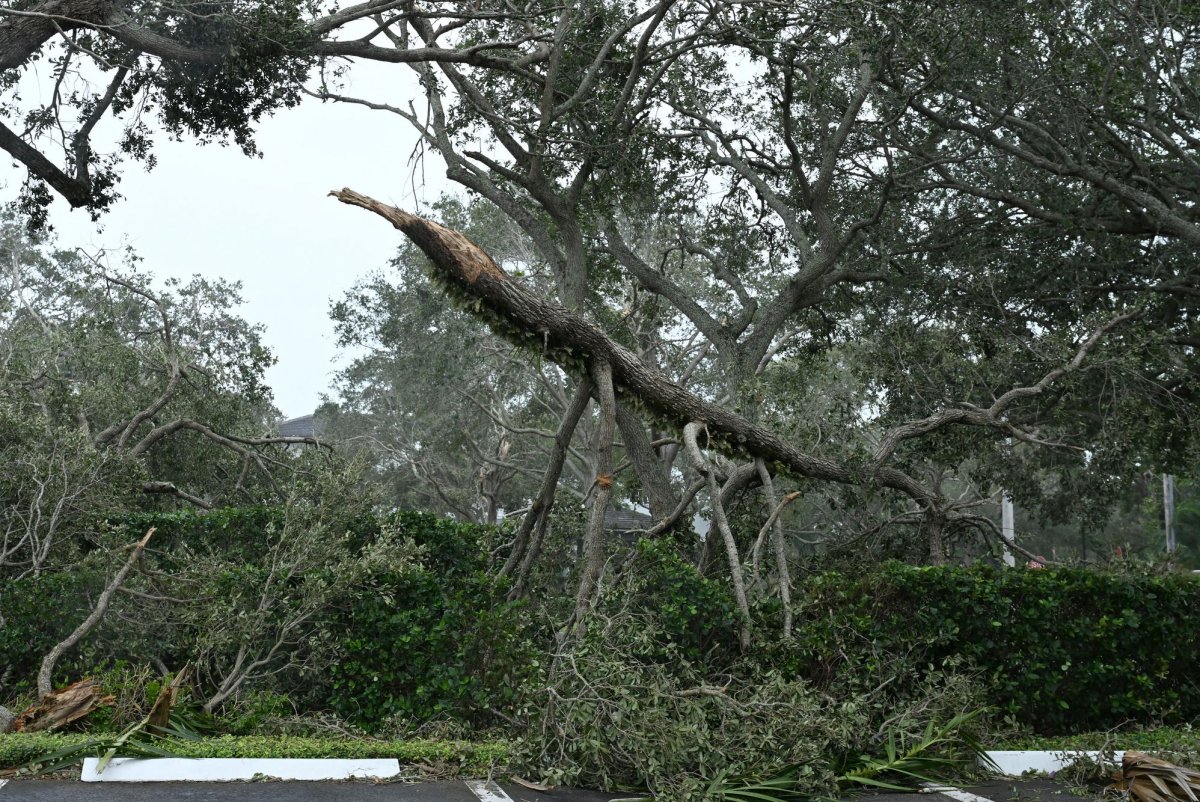
A powerful supercell storm produced multiple tornadoes across southern Mississippi on May 6, 2026. The longest and most powerful spanned five counties, delivering wind speeds up to 137 miles (220 kilometers) per hour and EF-3 damage, as gauged by the Enhanced Fujita Scale, to several areas.
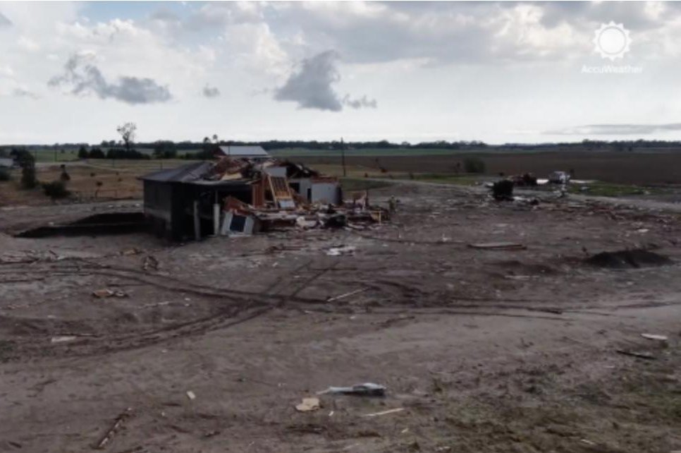
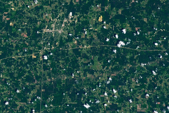
Part of this tornado’s destructive path was visible to the Landsat 8 satellite when it passed over the area on May 12. Winds snapped, uprooted, and tore bark and branches off trees, creating a brownish track across the landscape. This area, south of Brookhaven in Lincoln County, was one that sustained EF-3 damage. National Weather Service (NWS) post-event damage assessments noted extensive tree damage, a home whose exterior walls collapsed, and a mobile home park “devastated with debris.”
The tornado covered much more ground than is captured in this scene. It began in St. Catherine Creek National Wildlife Refuge near the Mississippi River, approximately 60 miles (100 kilometers) west-southwest of Brookhaven. In just over two hours, it traveled nearly 82 miles (132 kilometers), placing it among some of the longest tornadoes recorded in Mississippi. Heavy tree damage occurred along its entire path, NWS surveys found, with several instances of EF-2 structural damage and bent or collapsed transmission towers.