Image used for representative purpose only.
| Photo Credit: ANI
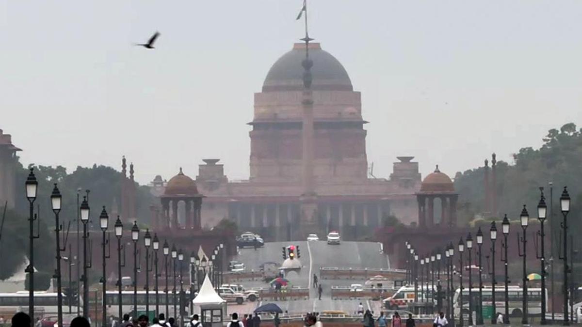
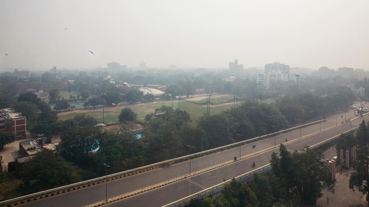
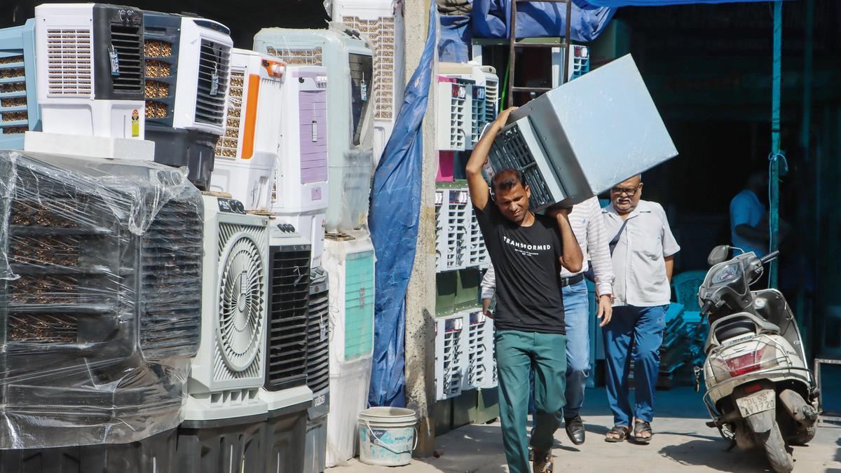
The capital saw a slight decrease in minimum temperature on Saturday (May 16, 2026), with forecast of strong gusts over the city for the next few days.Safdarjung, the city's base weather station, recorded a minimum of 24.8° Celsius, 1.7° below normal. The minimum temperature was 26.2° Celsius a day before.Other stations also recorded below-normal minimum temperatures. Palam recorded a minimum of 24.6° Celsius, 2.5° below normal, while the Ridge recorded 24.6° Celisus, 2.1° below normal."The drop in minimum happens when skies are clear, leading to more loss of heat from the earth's surface. Mostly clear skies are expected to persist through Saturday," an IMD official said.According to India Meteorological Department (IMD) forecast, there is a "possibility of thundery development towards afternoon/evening" on Sunday, along with strong winds at 20-30 kmph, and occasional gusts at 40 kmph."Strong surface winds are expected to continue on Monday and Tuesday as well," the official added.IMD has forecast the maximum temperature to be around 40-42° Celsius on Saturday (May 16, 2026).Meanwhile, the city's air quality index (AQI) remained in 'moderate' category at 173 at 9 a.m. on Saturday (May 16), as compared to the 24-hour average AQI of 152, also 'moderate', recorded at 4 p.m. on Friday (May 15), according to Central Pollution Control Board (CPCB) data.As per CPCB standards, an AQI of 0-50 is considered 'good', 51-100 'satisfactory', 101-200 'moderate', 201-300 'poor', 301-400 'very poor', and 401-500 'severe'.The Air Quality Early Warning System (AQEWS) for Delhi has forecast AQI to remain 'moderate' over the weekend and then subsequently deteriorate to 'poor' category on Monday (May 18). Published - May 16, 2026 10:23 am IST