Show Caption
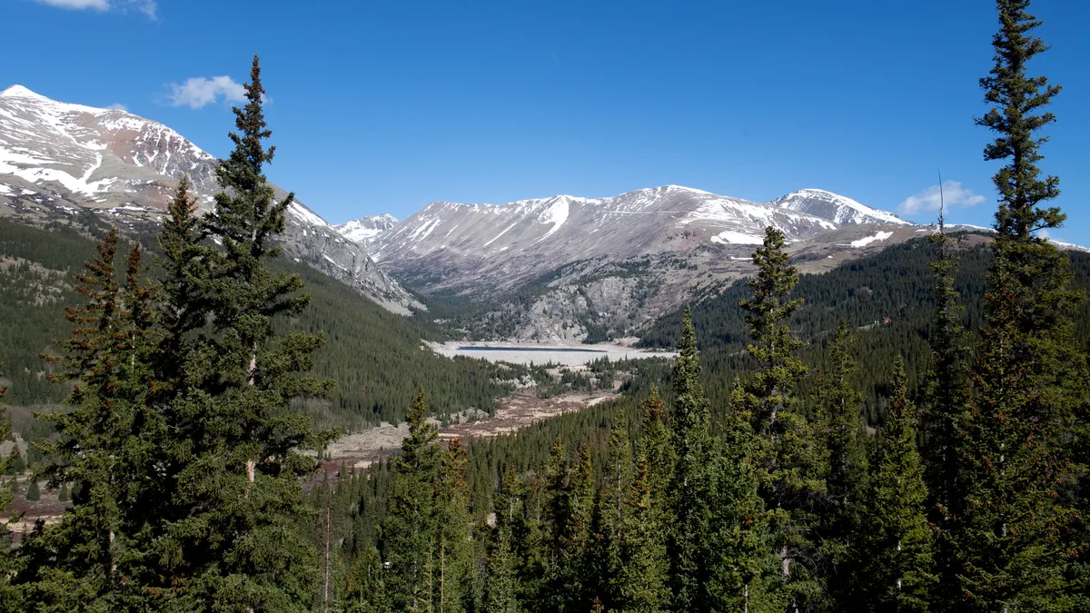
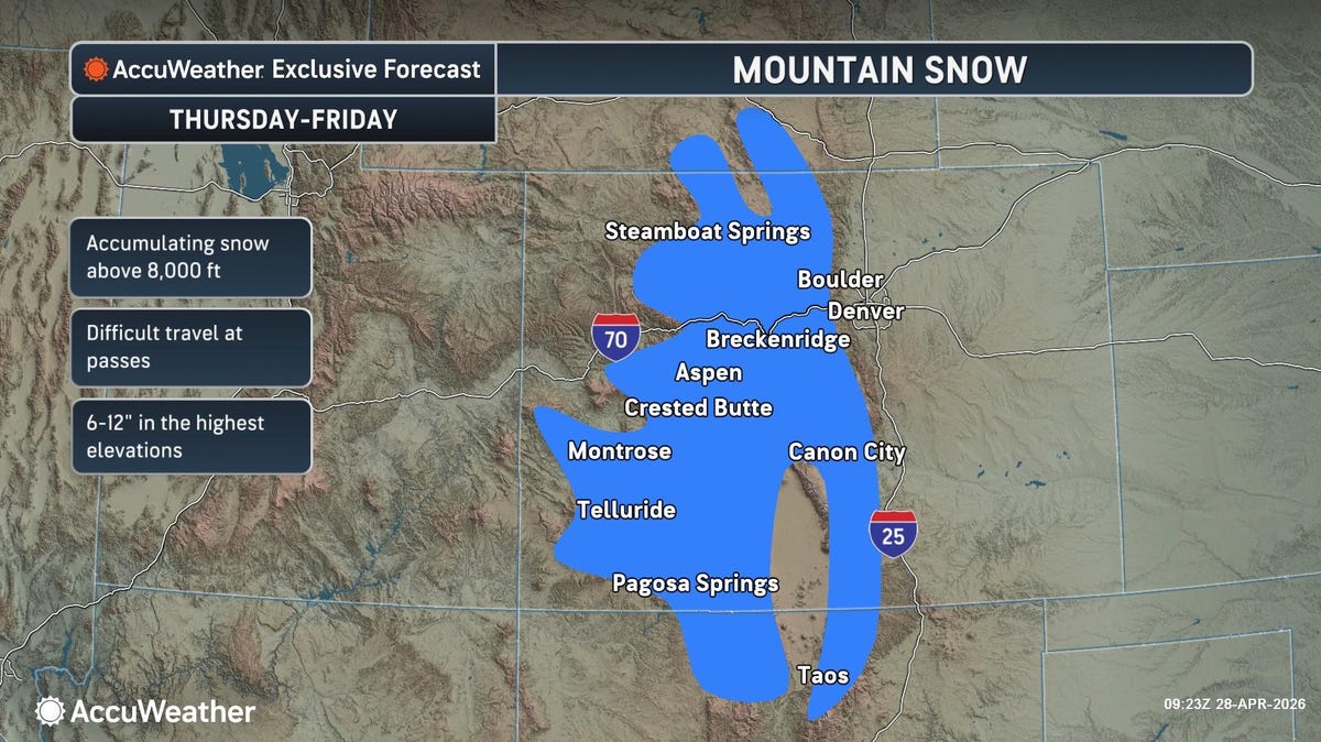
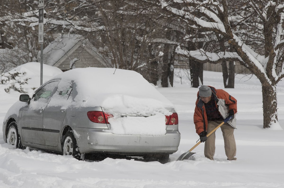
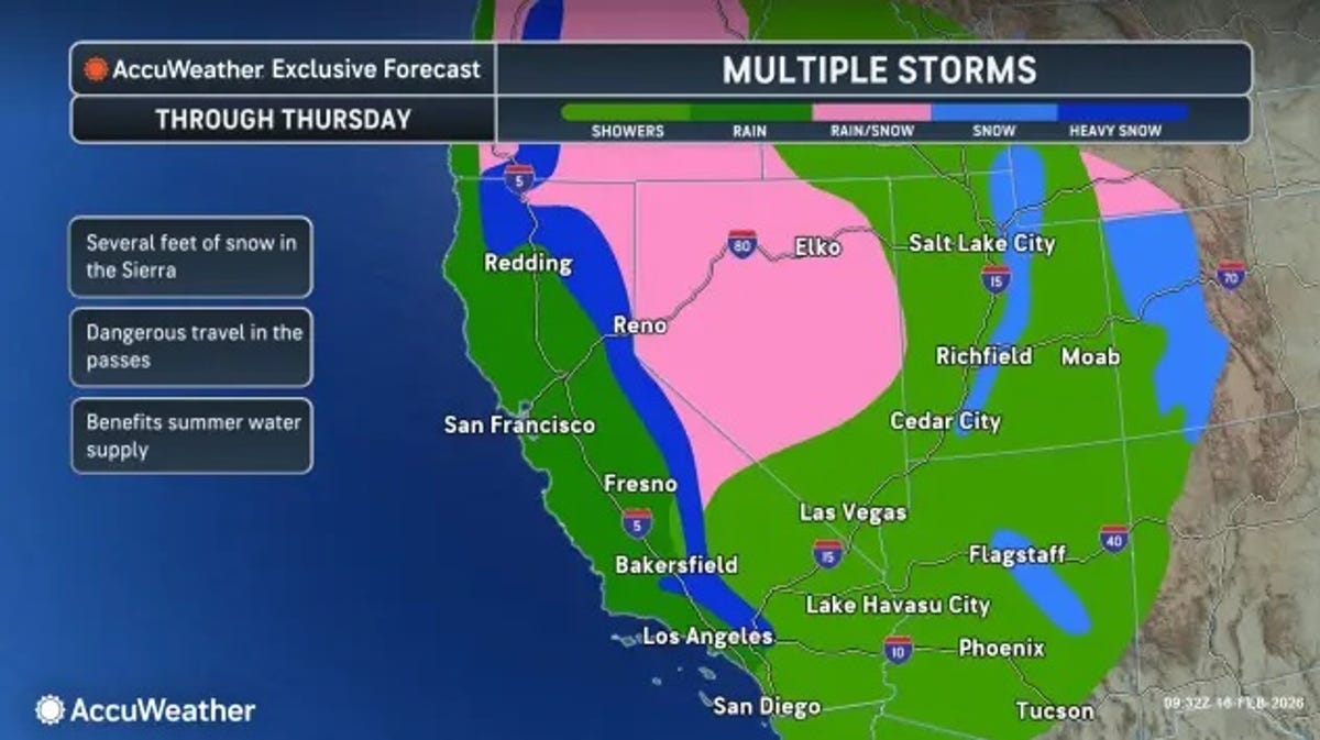
The National Weather Service has issued winter storm warnings for parts of Colorado and Wyoming beginning May 4 as much-needed heavy snow is set to wallop the Rockies.A strong cold front from Canada is moving southeastward through the Plains, the National Weather Service reported and widespread showers and thunderstorms are expected to soak much of the country. Meanwhile, higher elevation portions of the Central Rockies and Great Basin will see mountain snow and the Northern Plains will be hit with rain and a wintry mix.Winter storming warnings will go into effect for parts of Wyoming and Colorado including Rocky Mountain National Park from late May 4 through May 6. Beginning on May 5, temperatures will dip into the 40s in parts of the Central Rockies, well below average for this time of year, and up to two feet of snow could fall in the northern mountains and foothills.The weather service in Cheyenne warned travelers to be cautious as roads and bridges will likely become "slick, slushy and hazardous." Outdoor recreation will also be at risk, particularly for unprepared hunters, hikers, and snowmobilers who could get lost due to low visibility in the blowing snow."Heavy snow will accumulate on tree branches and powerlines, possibly causing them to break and lead to power outages," the weather service in Denver warned. "Travel could be very difficult to impossible at times, especially late Tuesday."Late season snow in Colorado's mountains is not unusual. The region could "sorely use" precipitation of any kind NOAA's Weather Prediction Center said in an earlier forecast, but experts have said the storm won't be enough to make up for the lack of snowfall so far this season."Depending on where you are in Colorado, this is one of the worst snow seasons on record with some locations actually recording their least amount of snow for the season," drought expert Brian Fuchs of the National Drought Mitigation Center said. Less snow now means less water will be available for plants, animals, humans and agriculture later on this summer, he added, which could mean an increase in water restrictions.Stormy weather expected across the countryThe cold front from Canada will make its way to the southeastern United States by the middle of the week bringing stormy weather along with it, according to the National Weather Service.Strong to severe thunderstorms that could produce large hail, strong winds and tornadoes will hit the Southern Plains and Lower Mississippi Valley on May 5. The risk of severe weather will extend into the Tennessee Valley on May 6, with heavy rainfall and isolated flash flooding possible.Showers and thunderstorms will also plague parts of the Midwest, Great Lakes, Mid-Atlantic and Northeast, but will be much less intense. Portions of southern Florida will also experience thunderstorms due to a "stubborn stationary front."Precipitation is also expected in parts of northern California and the Central Great Basin, with snow and a wintry mix possible in high elevations, specifically the Sierra Nevada.Contributing: Doyle Rice