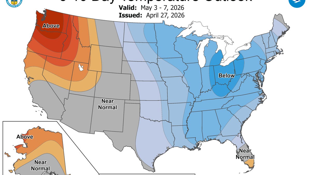
As the calendar soon turns to April, it appears that we can finally shed all talk of the polar vortex until next winter as milder weather takes hold across much of the eastern U.S. and a cool-down ends the western heat wave.
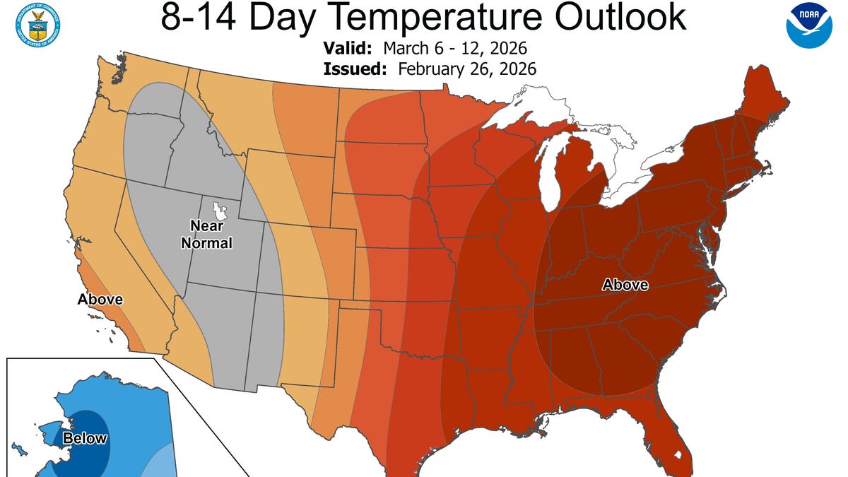
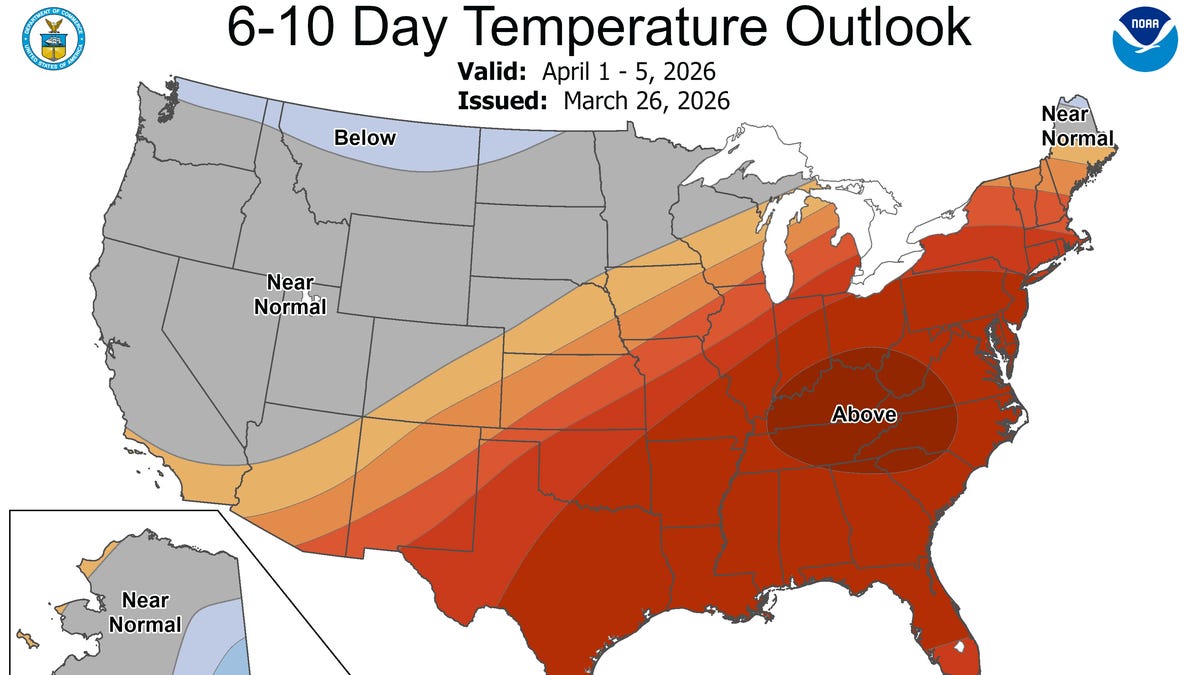
A surge of warmth featuring temperatures above the historical average will impact the Southeast and parts of the eastern United States to start April, AccuWeather said in an online forecast. The pattern will support multiple days of temperatures in the 80s, with increasing risks for thunderstorms and heavy rainfall as a front advances later in the period.
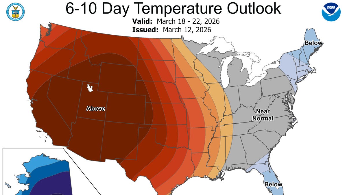
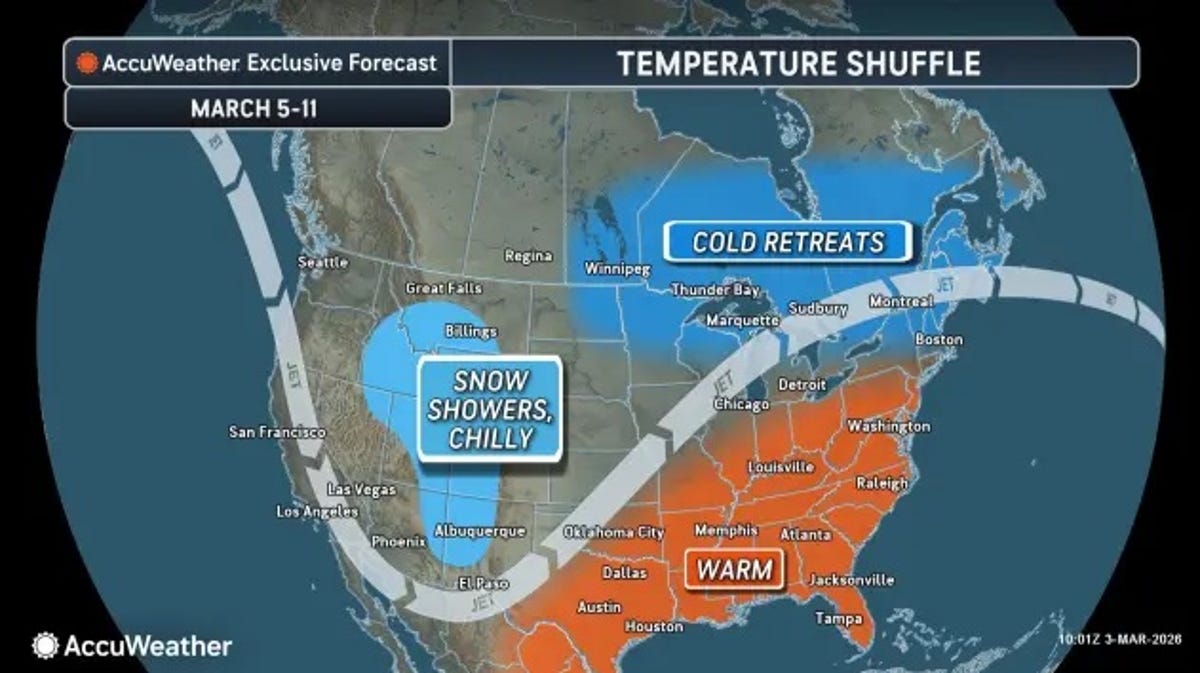
Meanwhile, some good news is in the forecast for the drought- and heat-plagued West, as a cool, wet and even snowy pattern is forecast to bring some relief that's desperately needed across the region.
Calling it a "major pattern shift," Weather Trader meteorologist Ryan Maue said the heat dome that's baked the West for weeks will shift east and build strongly into early April. At the same time, a trough and much cooler weather will arrive into the western U.S. by mid-week, he said in an e-mail to USA TODAY.
Warmer air is forecast to overspread the central and eastern U.S. next week, according to AccuWeather.