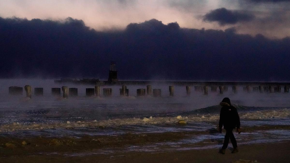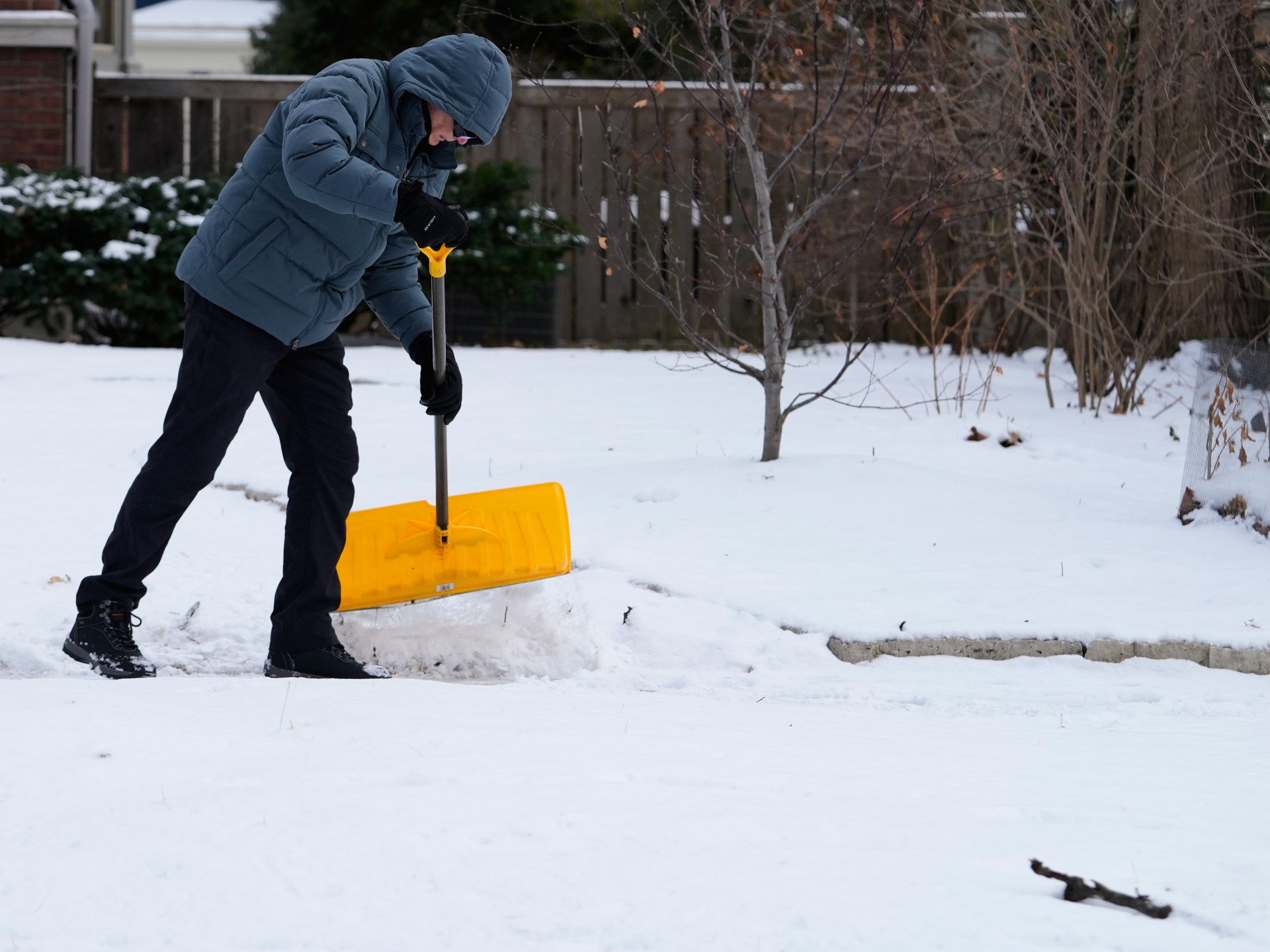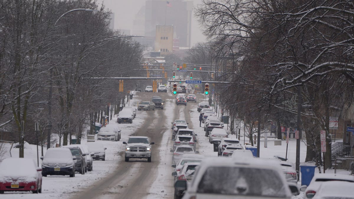
A fierce winter storm swept into the West on Friday with freezing rain and snow, while a blast of polar air helped send temperatures plunging as low as minus 58 degrees in the Northern Plains.
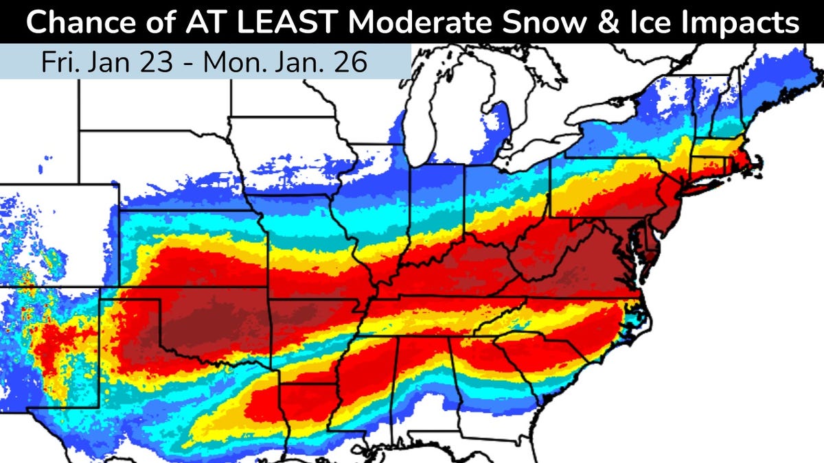
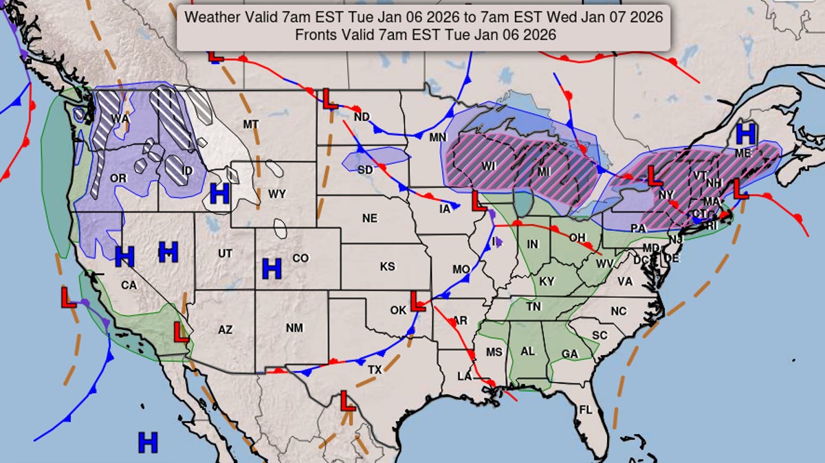
The storm will move over the country on Jan. 24 and 25, with locations scattered along its path expected to see deep ice accumulations, up to a foot of snow or more and sub-zero temperatures, according to a forecast from the National Weather Service Weather Prediction Center. The ice could be "crippling" in some locations and sleet could bring an "extreme event" with power outages and long-lasting impacts to travel, warned the weather service.
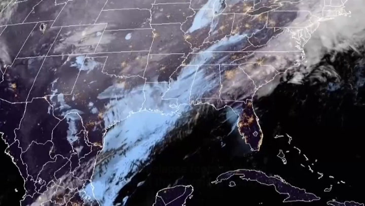
See the forecast maps from the weather service, which falls under the umbrella of the National Oceanic and Atmospheric Administration, below:
The weather service is using words like "catastrophic" and "crippling" to describe the impacts of freezing rain and ice along two corridors, one from Texas into Kentucky, and another from Georgia into Virginia.
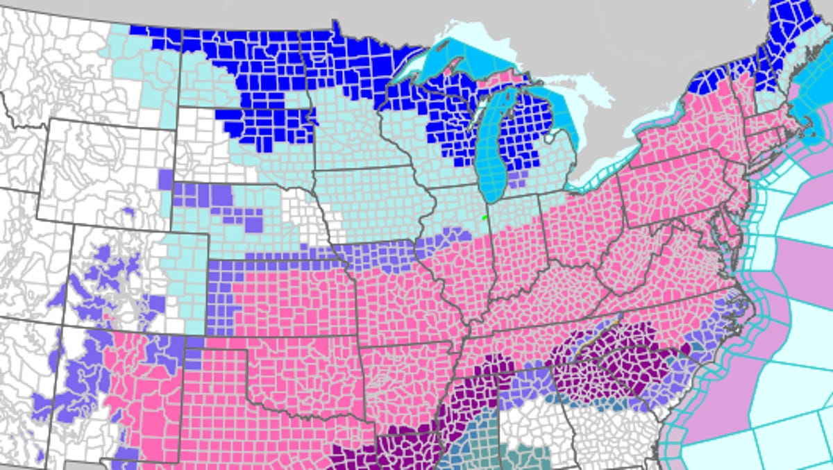
Below is the official forecast for expected snow through Jan. 26, but the numbers can always be slightly higher or slightly lower depending on the storm's track and the layers of temperature in the atmosphere.