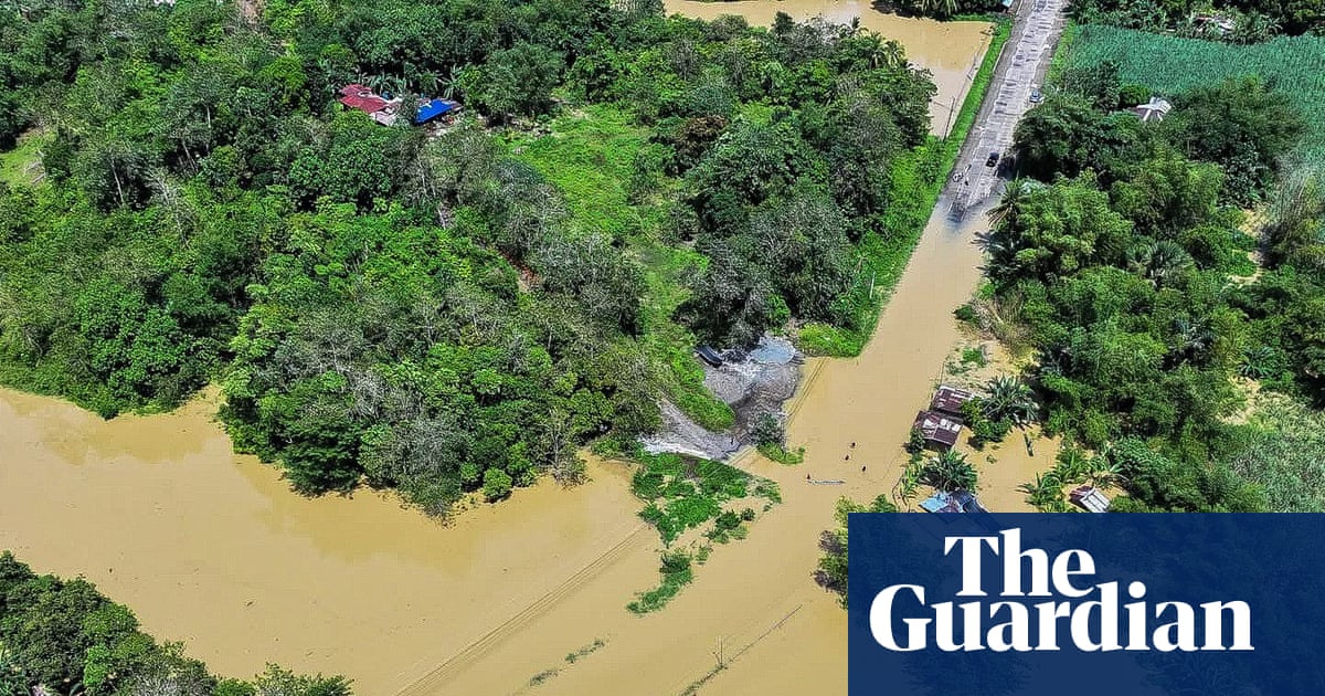
Warnings in place for storm surges and flooding, with landslides and volcanic mudflows possible on Luzon
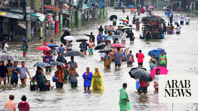
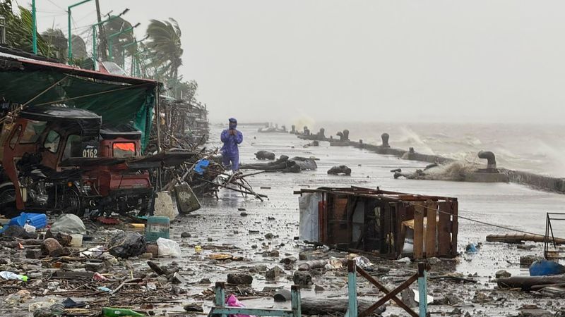
The Philippines is experiencing its first tropical storm of the year. Ada, also known as Nokaen, slowly developed into a tropical storm on Friday, travelling northwards along the east coast over the weekend and bringing torrential rain of up to 200mm a day and maximum wind gusts of up to 65mph near the storm’s centre.
The system is expected to remain a tropical storm until Tuesday as it tracks north-west, though weakening as a result of the incoming north-east monsoon, transitioning back to a tropical depression, which could bring further rain and strong winds enhanced by the monsoon later in the week.
Several warnings were put in place for storm surges up to 2.2 metres in low-lying regions with wave heights of up to 5 metres. Flooding is expected to be a risk over the next week, in addition to the risk of landslides and lahars (volcanic mudflows) around Mayon Volcano on Luzon island. This has led to disruptions to travel, school closures and power outages in vulnerable areas.
Meanwhile, a deep low pressure system is expected to move through the Mediterranean early this week. Named Storm Harry by the Spanish meteorological service Aemet, the impacts of the storm are expected to be felt first on Monday afternoon with heavy rainfall expected across Catalonia, the Valencian community and southern Aragon before also affecting the Balearics, south-west France, Sardinia, Corsica, Sicily and the south-west of the Italian mainland.