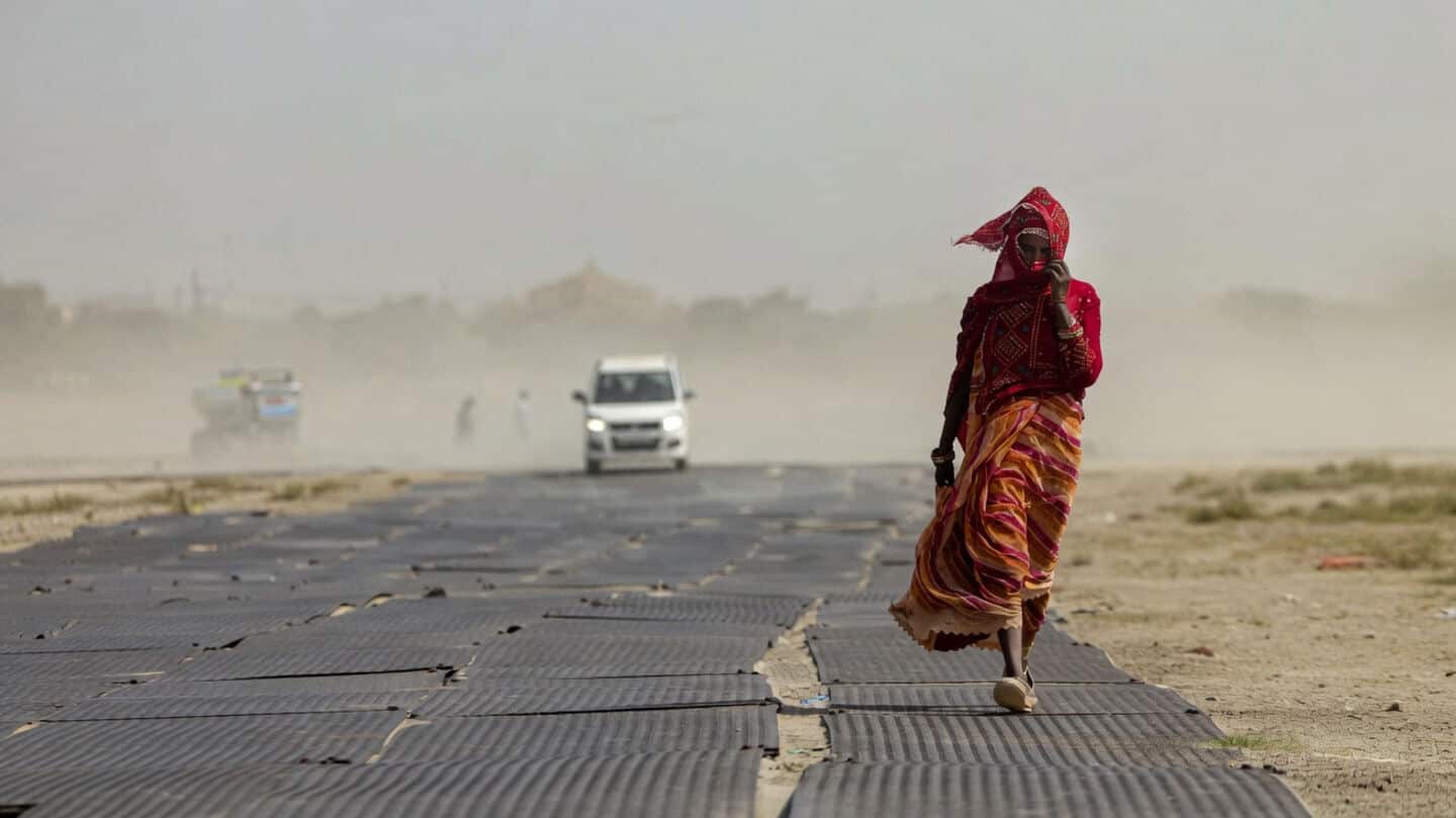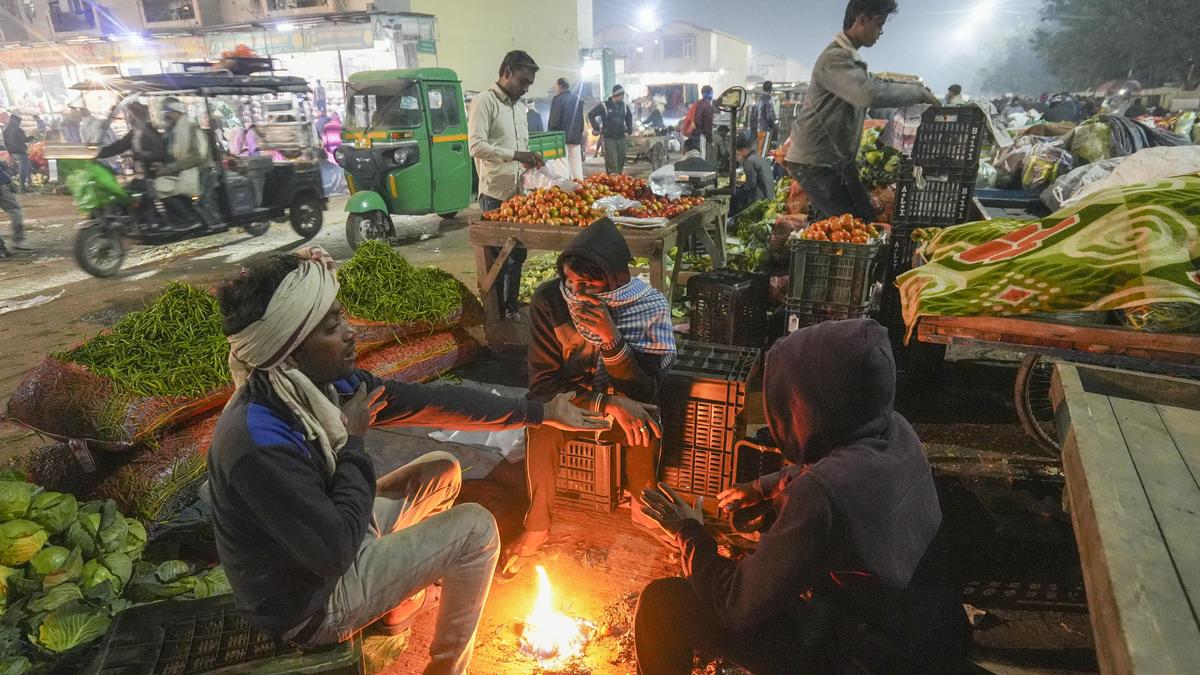
There will be more than the usual number of ‘cold wave’ days over Delhi, Haryana, Punjab, eastern Uttar Pradesh, northern Madhya Pradesh, western Maharashtra and Arunachal Pradesh, the India Meteorological Department (IMD) said on Monday (December 1, 2025).
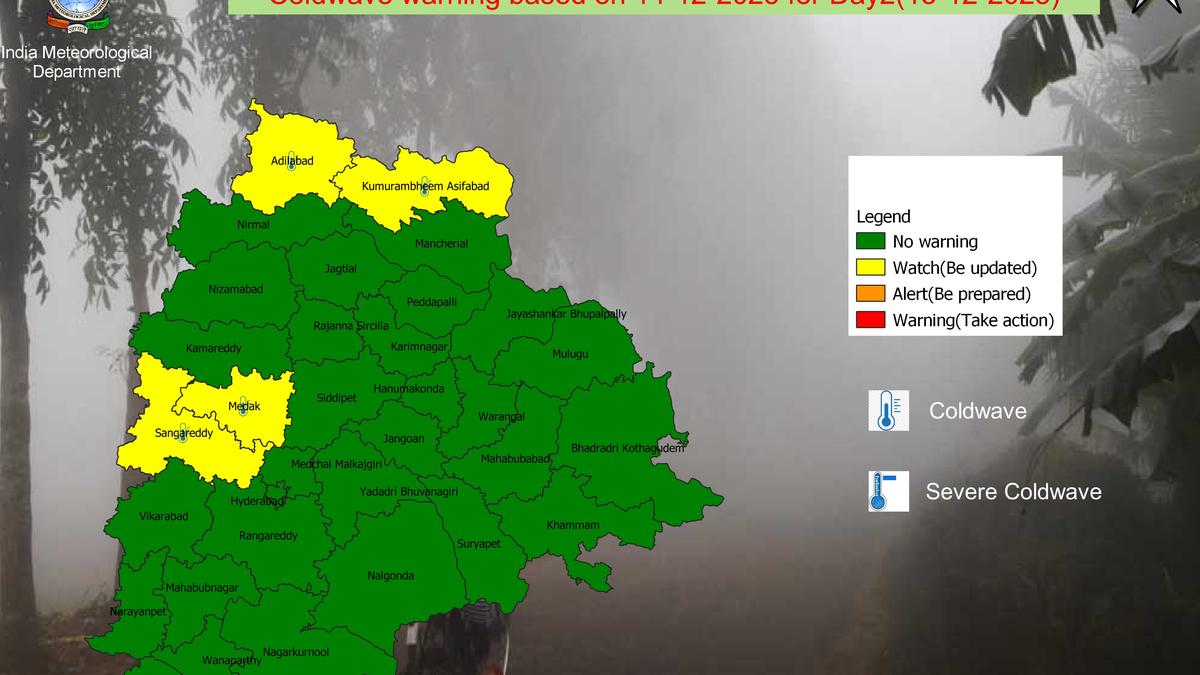
The IMD has precise definitions for what constitutes a ‘cold wave’. When the minimum temperature of a station is 10°C or less in the plains and 0°C or less in hilly regions, it is considered a ‘cold wave’ day. If temperatures dip 4.5°C to 6.4°C below what’s normal for a region - irrespective of its geographical location - then too it can count as a ‘cold wave’.
“The upcoming winter months from December to February are likely to be normal to below-normal minimum temperatures and are likely over most parts of central India, adjoining peninsular India, and northwest India, while above-normal minimum temperatures are expected in the remaining parts of the country. Cold wave occurrences are expected to be above normal over parts of central, northwest, and northeast India during the season,” the agency said in a statement.
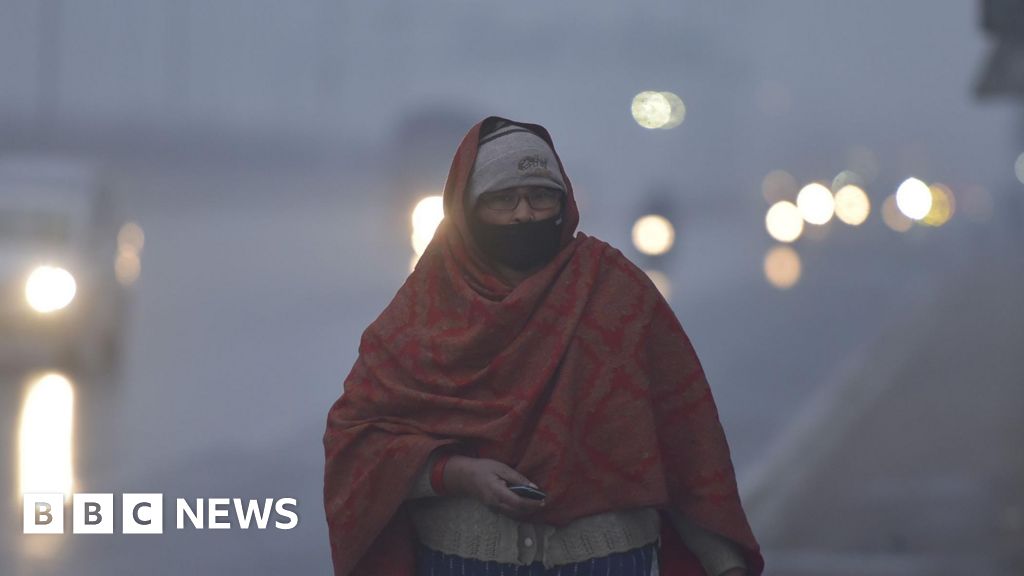
People commute through dense fog on a cold morning in Prayagraj on Monday, December 1, 2025. | Photo Credit: ANI
The reasons for longer cold wave spells are fewer western disturbances – rain-bearing storms that originate in the Mediterranean region. Moisture from rain tends to increase minimum temperatures. “This is also a La Nina year (characterised by cooler temperatures in the Central Pacific). While there is no direct correlation, historically La Nina years tend to correlate with cold waves,” said M. Mohapatra, Director General, IMD.