Severe conditions caused by deep area of low pressure to north-west of Spain in the Atlantic Ocean
Severe thunderstorms developed across the Iberian peninsula on Wednesday, with Aemet, the Spanish meteorological service, issuing an orange weather warning across much of the country.
These thunderstorms were triggered by a cold front passing eastward across Iberia, due to a deep area of low pressure situated just to the north-west of Spain in the Atlantic Ocean, which at its lowest had a central pressure of 989hPa.
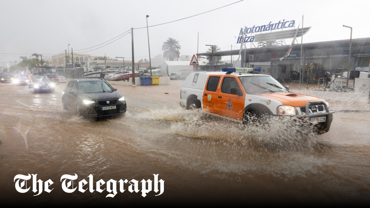
There was heavy rain across Iberia, with more than 30mm falling in just 24 hours across Galicia, where more localised totals reached 60mm, leading to some surface flooding. Parts of Castilla y León also had high totals, with the town of Cáceres recording 50mm in 24 hours, with flooding making roads impassable. There were reports of large hail, notably in southern Spain, where a 6cm hailstone was spotted in Cádiz, Andalucía.
Strong winds also battered Iberia, notably along the north coast of Spain, where gusts of 55mph were widespread. More locally, gusts reached 65mph, and one gust of 99mph was reported in Ouria, Asturias, in north-west Spain.