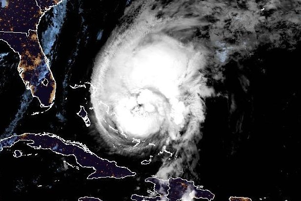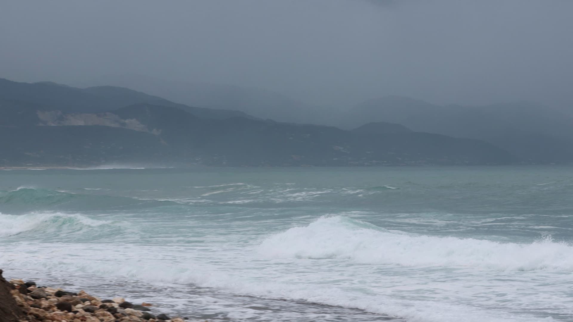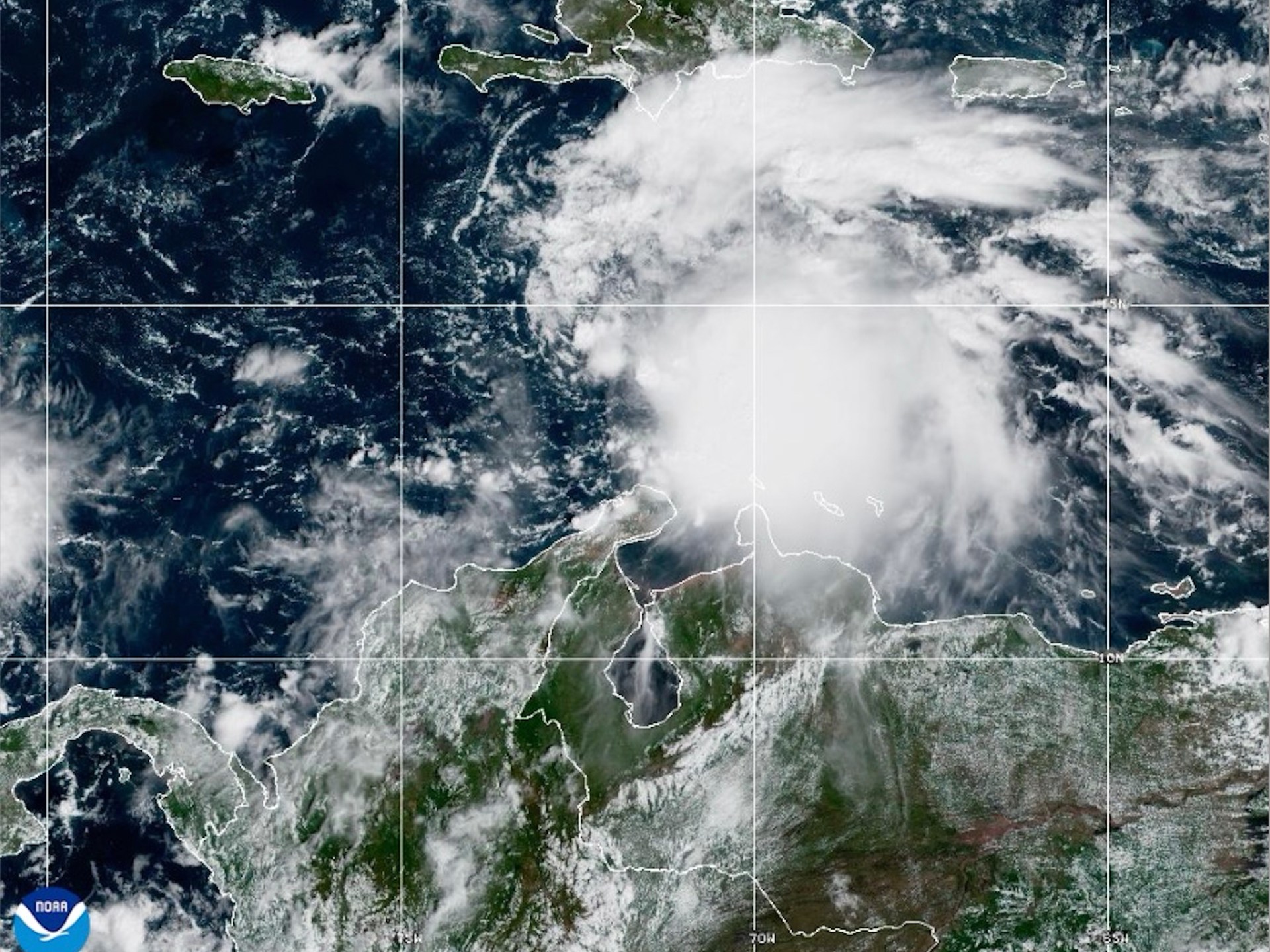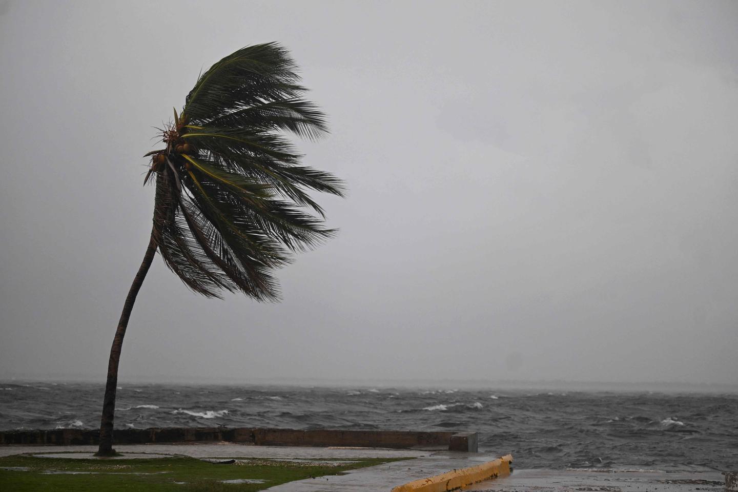
A series of weather systems have contributed to heavy rain and dangerous surf across parts of the Southeast, especially in Florida, but the well-timed systems also are part of a weather pattern that's forecast to help spare the mainland U.S. from any direct impacts from powerful Hurricane Melissa.
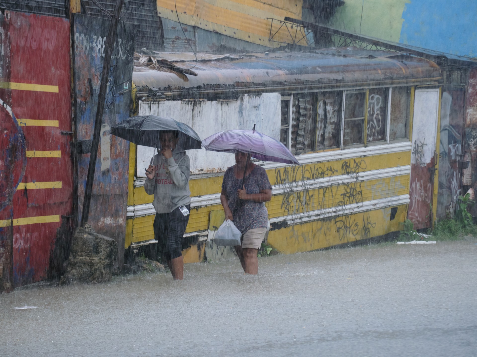
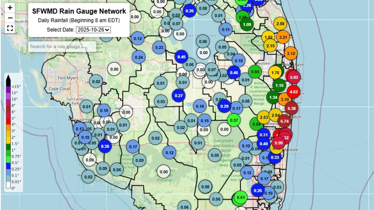
On Oct. 26, "multiple feet" of water were reported in the lobby of a Boca Raton resort after heavy rains, according to the National Weather Service in Miami, Florida. Standing water also flooded an intersection in Palm Beach, the weather service said.
In Central Florida, more than 19 inches of rain was reported within 24 hours in Eustis, in Lake County, while more than 16 inches of rain was reported in multiple locations elsewhere in the county, according to the weather service office in Melbourne, Florida. In Titusville, home to Kennedy Space Center, more than 14 inches of rain was reported, and flood watches continued through Oct. 27, the weather service said.
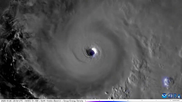
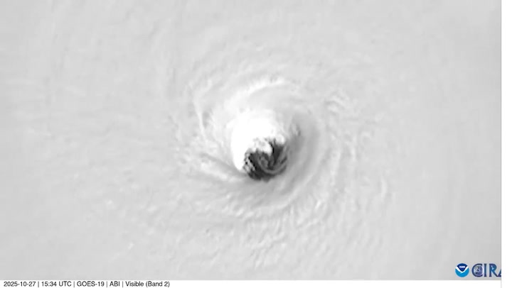
While the storms that set daily rainfall records in Central and South Florida between Oct. 25-27 aren't directly connected to Melissa, they are part of a weather pattern the hurricane center expects to help steer Melissa off toward the Northeast in the Atlantic Ocean, said David Roth, a meteorologist with the National Weather Service's Weather Prediction Center. An eastern trough has been persistent since August, Roth said.