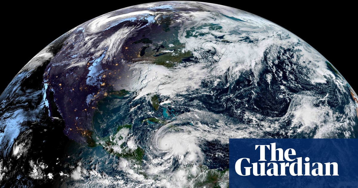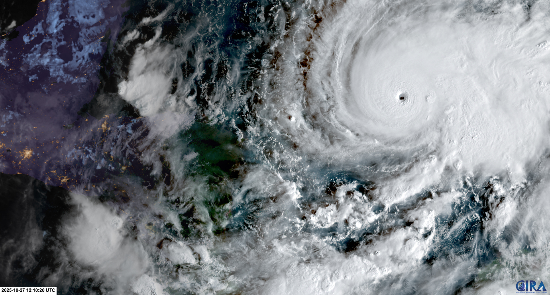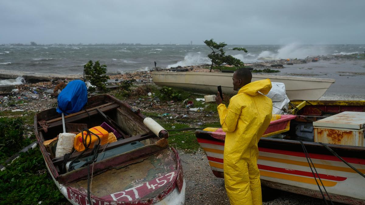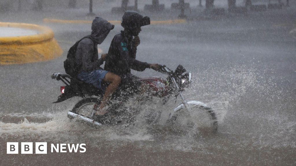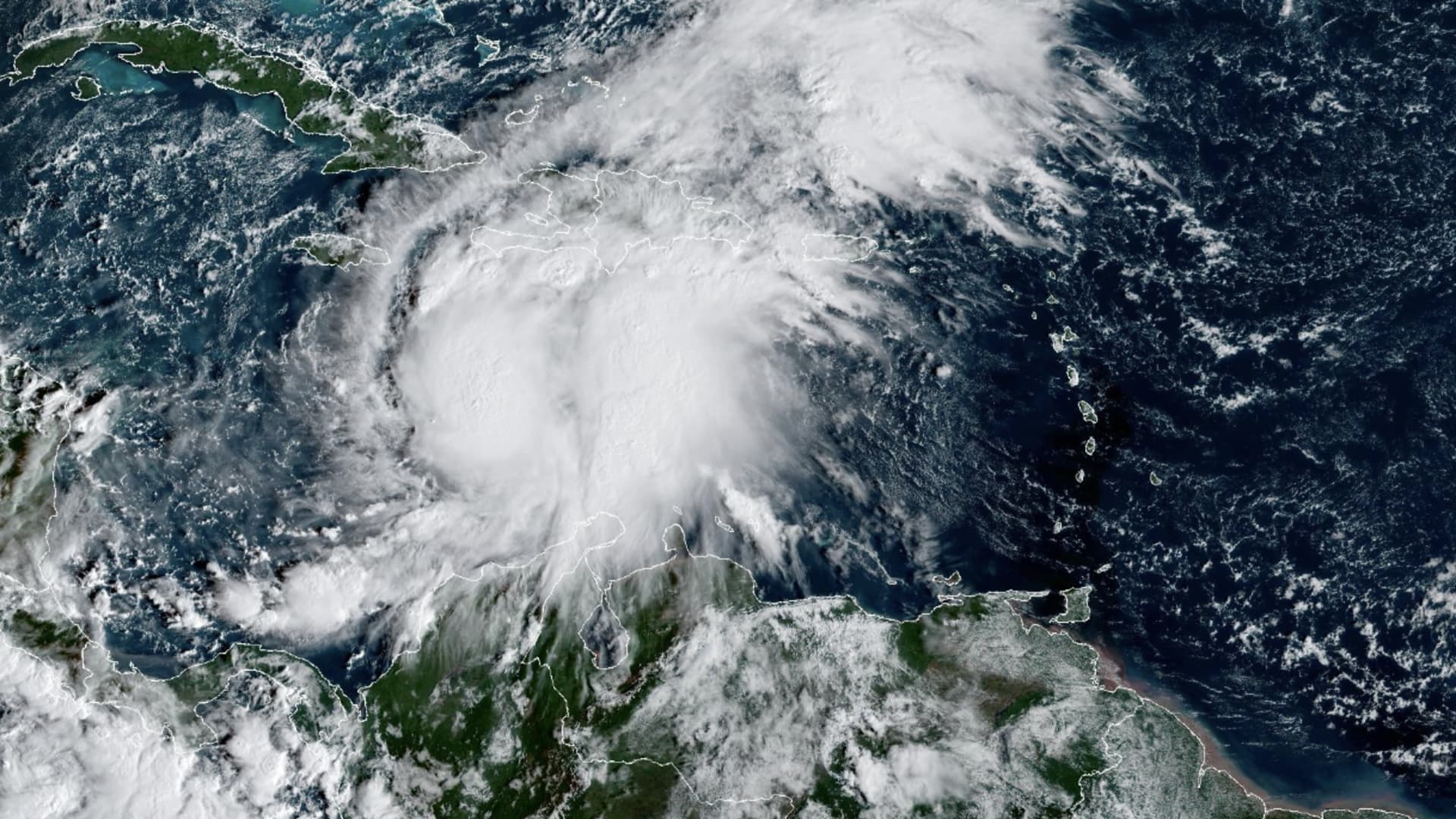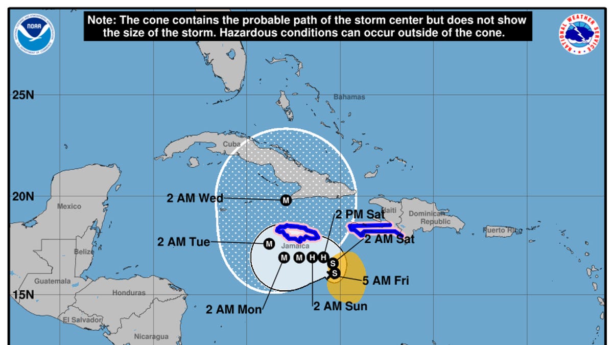
On the morning of Friday Oct. 24, Tropical Storm Melissa continues to spin in the central Caribbean Sea, where the island nation of Jamaica lies almost directly in the path of the burgeoning hurricane.
While Hispaniola and Cuba are also in the line of fire, forecasters from the National Hurricane Center on Oct. 23 said that in the short term, Jamaica could see the worst of the storm's fury.
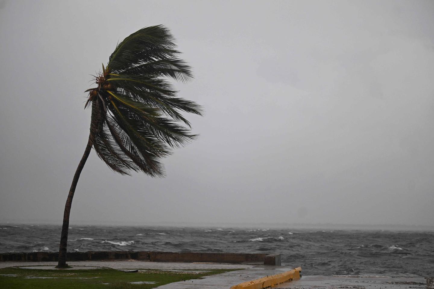
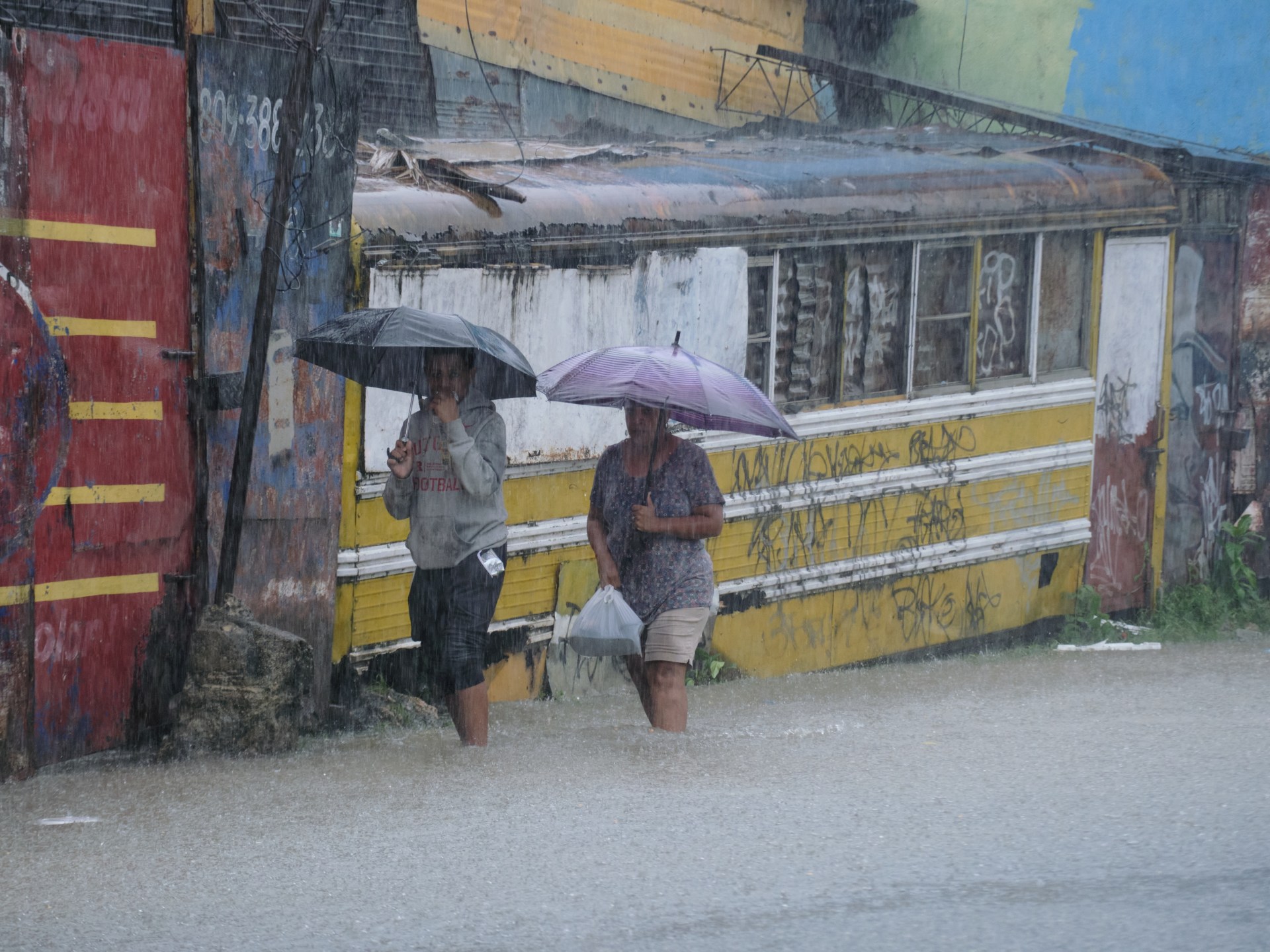
"Due to Melissa’s slow motion, the risk of a prolonged multi-day period of potentially damaging winds, heavy rainfall resulting in life-threatening flash flooding and numerous landslides, and coastal flooding continues to increase for Jamaica," the hurricane center said.
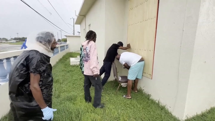
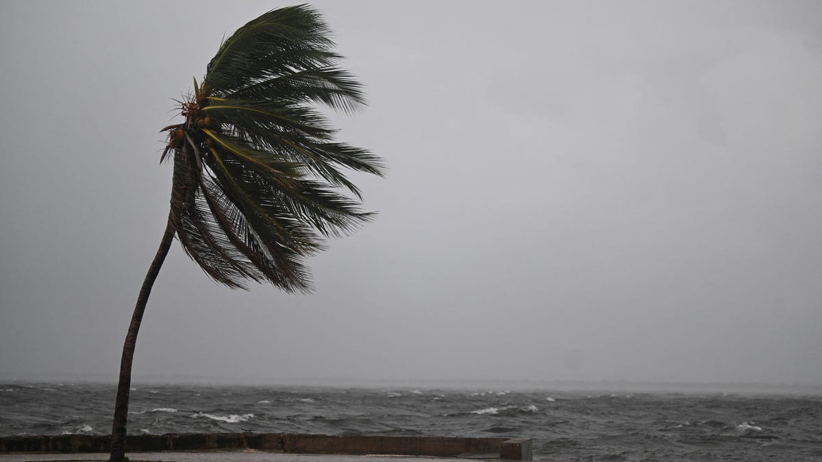
"Preparations to protect life and property should be rushed to completion, since strong winds and flooding rains could begin in Jamaica by Friday (Oct. 24) or Saturday (Oct. 25)," the hurricane center warned.
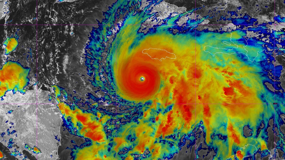
Andrew Hazelton, an associate scientist at the University of Miami's Cooperative Institute for Marine and Atmospheric Studies, said on X Oct. 23 that he's "becoming increasingly concerned for the possibility of a close pass or direct hit on Jamaica from Melissa. Overnight hurricane models have trended closer and all show impacts on the island."