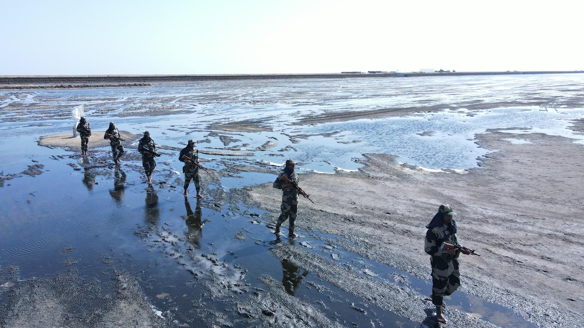
Sir Creek is a 96-km-long estuary that lies between Kutch in Gujarat and Pakistan’s Sindh province. It is a muddy, uninhabited marshland in the Rann of Kutch that flows into the Arabian Sea. Once known as Ban Ganga, it was renamed Sir Creek after a British officer during colonial times.
The dispute over this area dates back to the British period. During the time, the entire region was part of the Bombay Presidency, which included the present-day Maharashtra, Gujarat and Sindh. After Partition in 1947, Sindh became part of Pakistan while Kutch remained with India. The core of the dispute is about where to draw the boundary.
Pakistan claims the entire creek, citing a 1914 Bombay Government Resolution that established the boundary along the eastern bank — the so-called Green Line — effectively placing the creek in Sindh. India argues for the mid-channel principle, backed by a 1925 map and the internationally accepted Thalweg principle, which says that the border between two nations sharing a navigable waterway should run along the deepest channel. India maintains that Sir Creek becomes navigable during high tide, and so the boundary should run through the middle. Pakistan disputes this, insisting that the creek is not navigable.