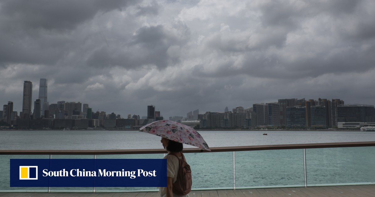
Forecaster says low-pressure broad area has entered central and northern parts of South China Sea and is developing gradually
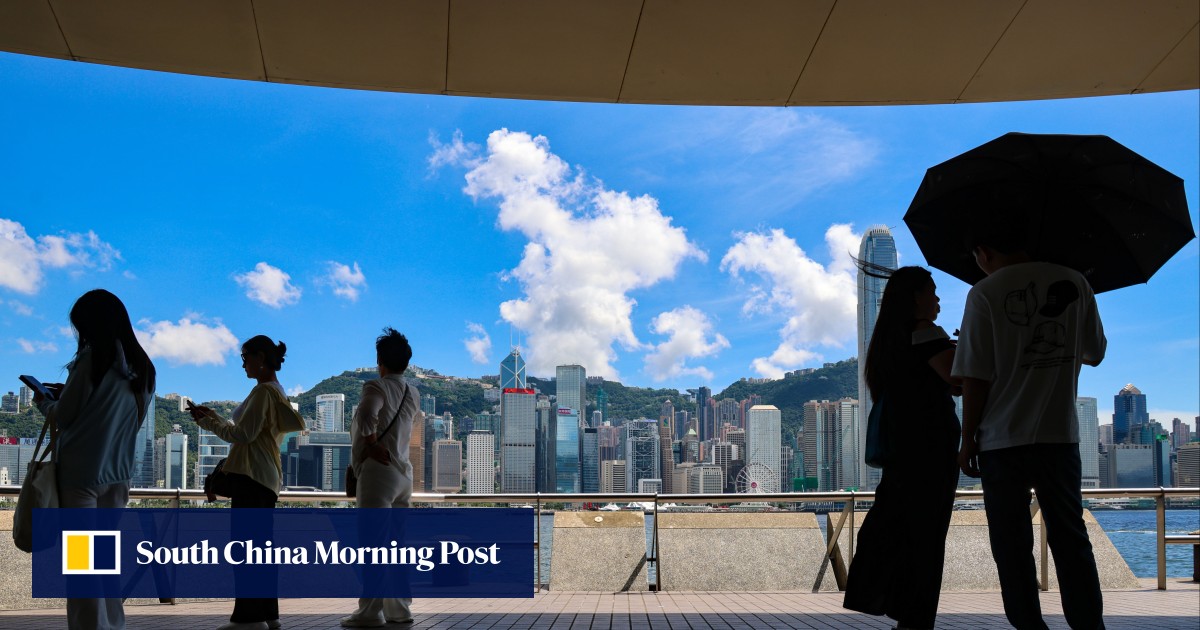
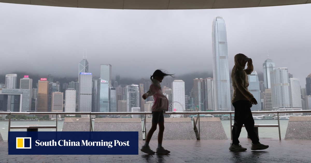
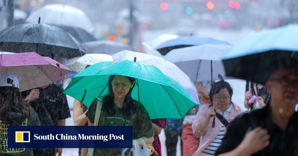
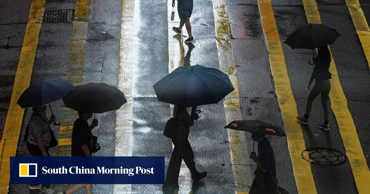
Hong Kong’s weather forecaster has said it may issue a No 1 typhoon warning signal on Wednesday night or Thursday morning, with thunderstorms expected over the next two days.
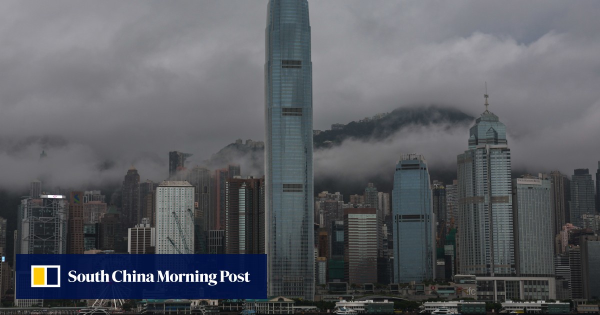
“The broad area of low pressure to the west of Luzon has entered the central and northern parts of the South China Sea and is developing gradually, but its structure is still loose,” the Hong Kong Observatory said on Wednesday.
“If [it] further develops into a tropical cyclone between [Wednesday night] and [Thursday morning], the Observatory will consider issuing the No 1 typhoon signal by then.”
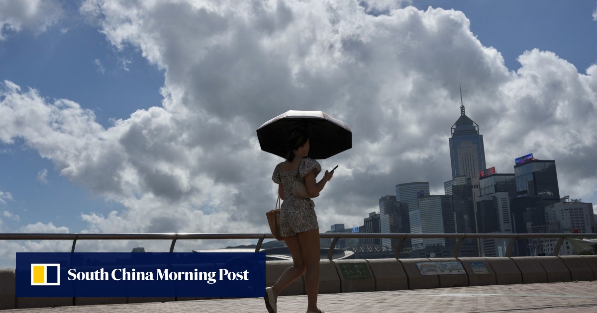
According to the forecaster, the weather on Thursday and Friday is expected to be windy with showers and thunderstorms, due to the combined effect of the low-pressure system and the high-pressure ridge over southeastern China.