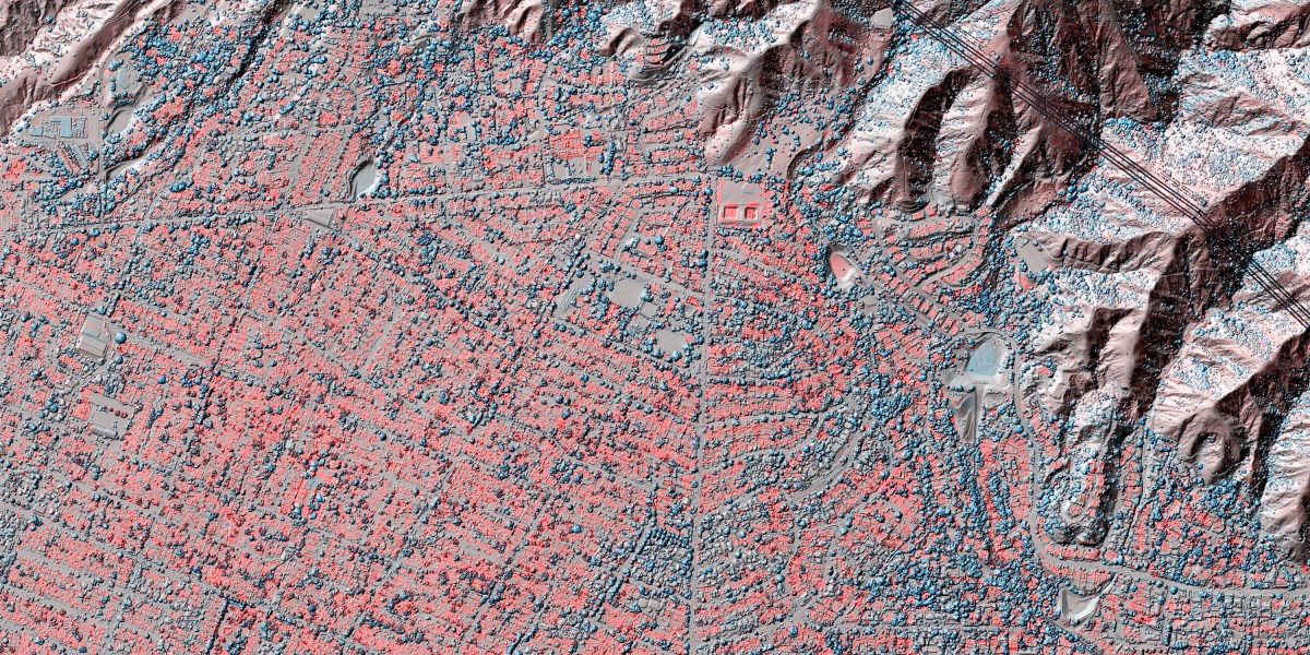
Lidar data allows the identification of more subtle consequences of a disaster, including fault line shifts, volcanic eruptions, and mudslides.
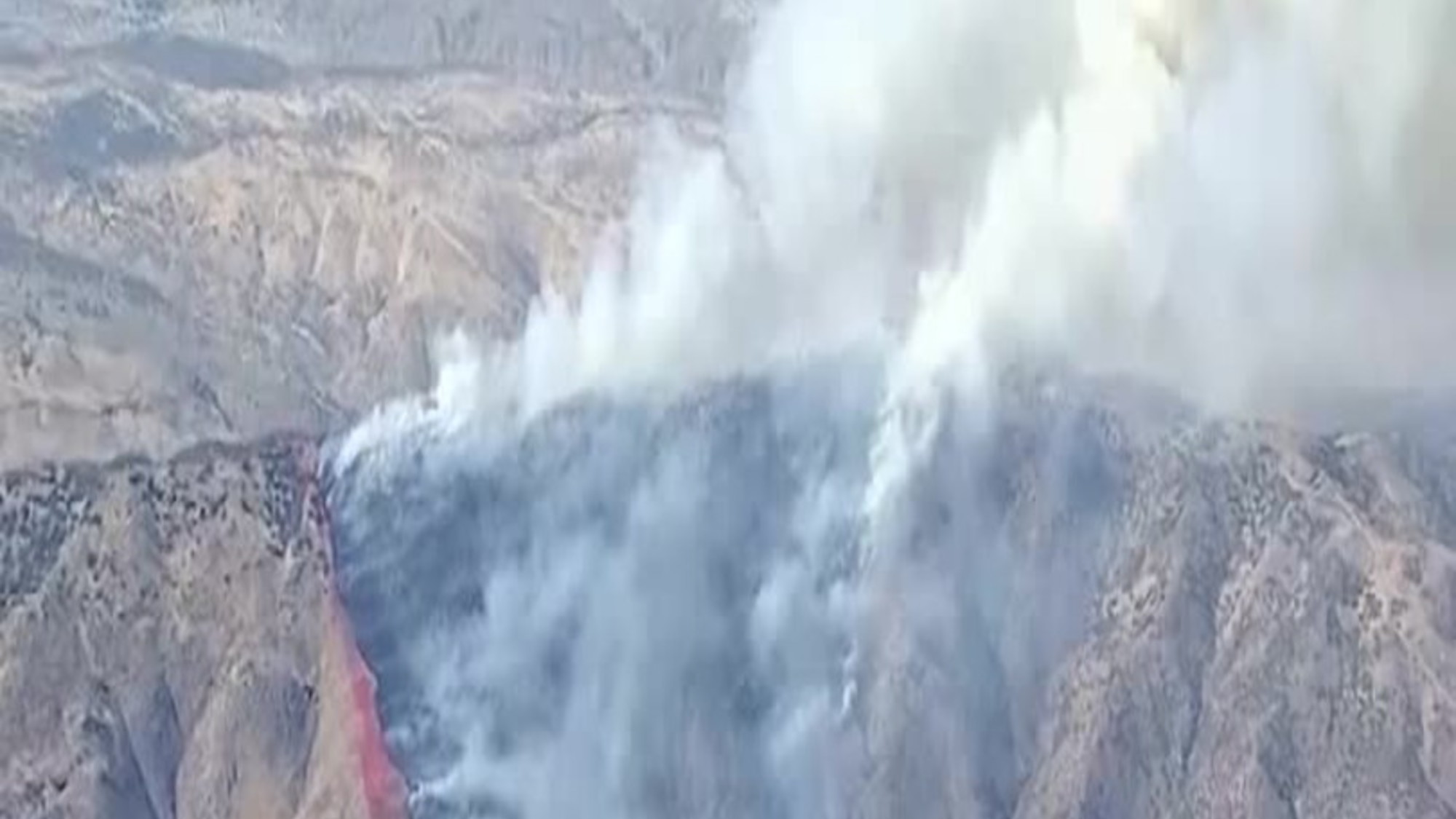
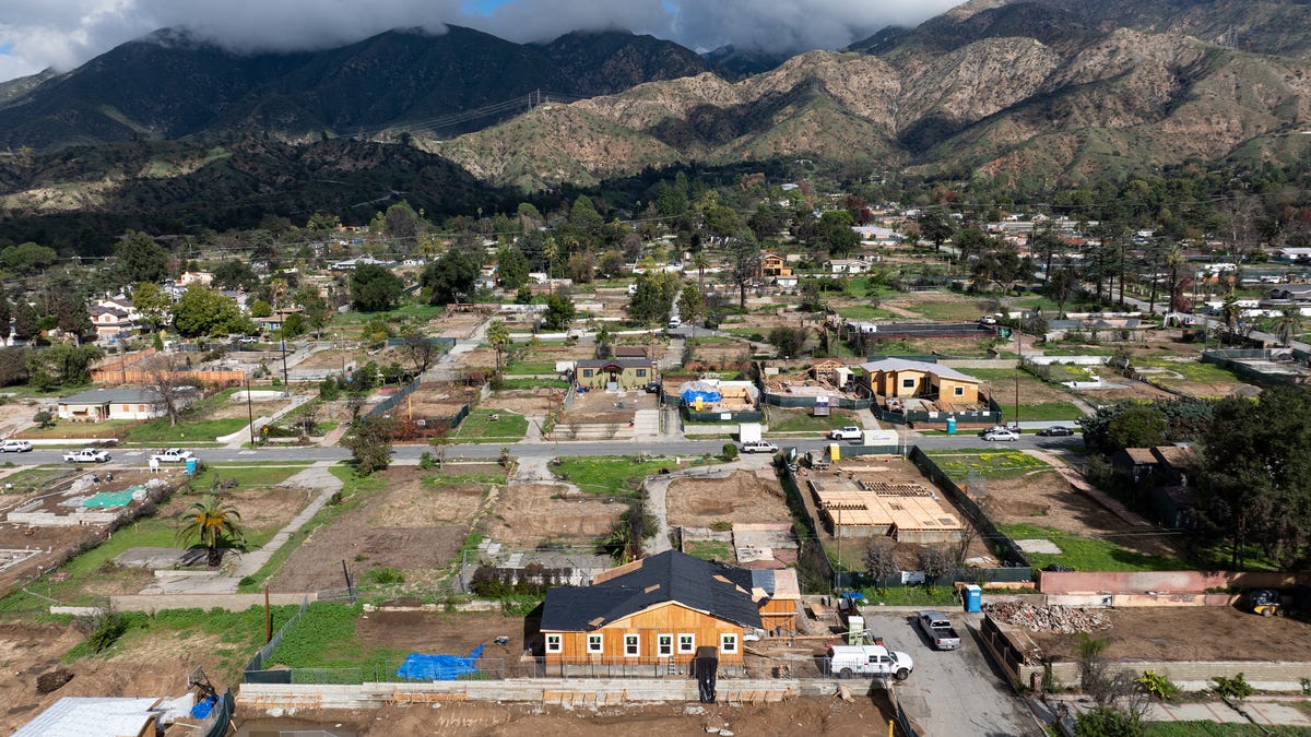
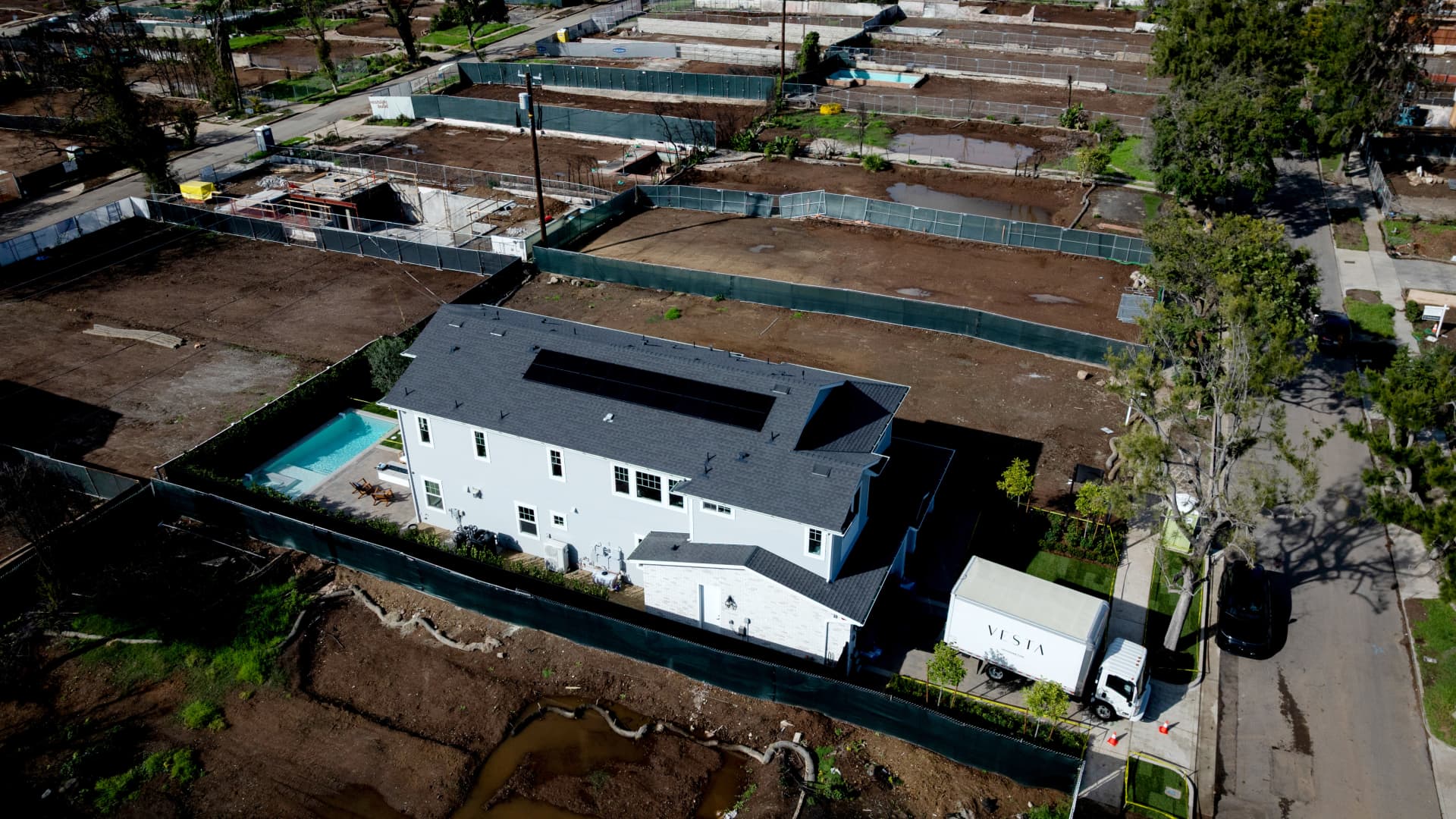
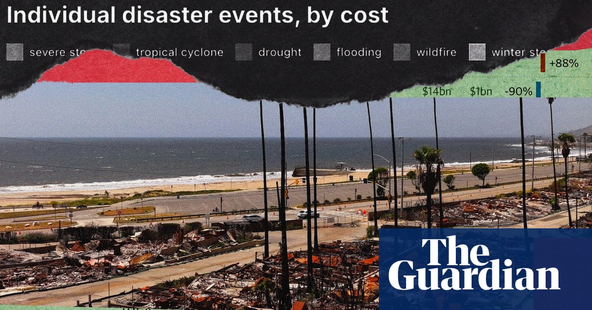
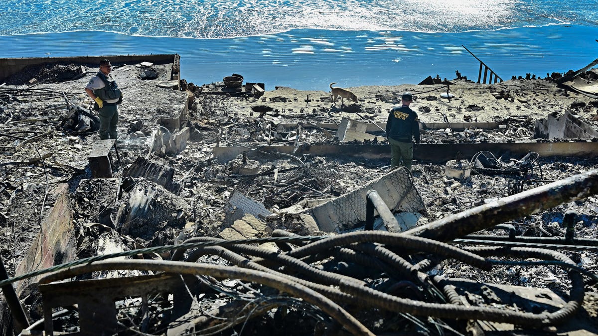
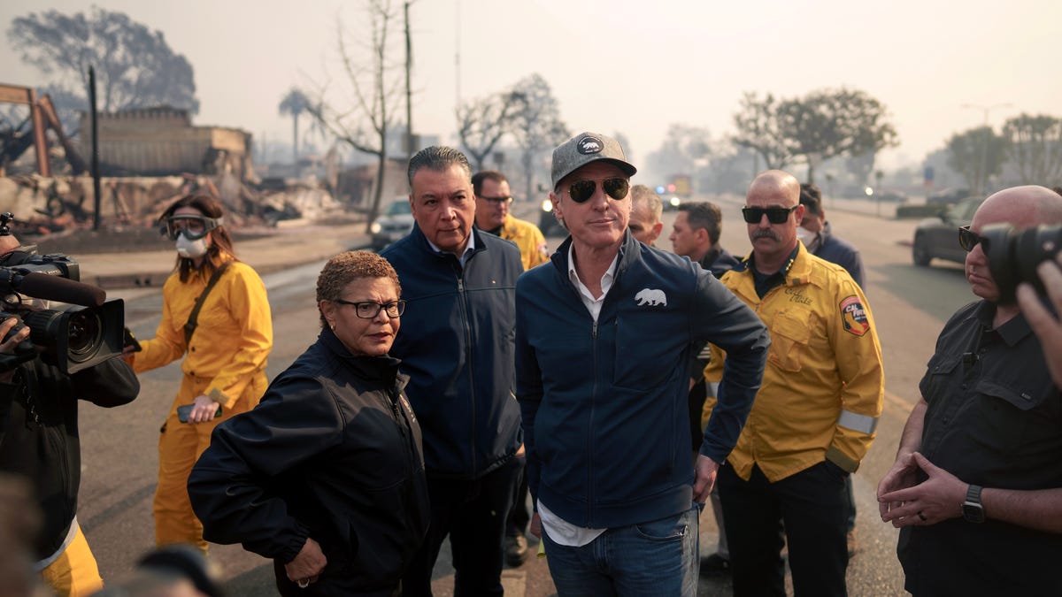
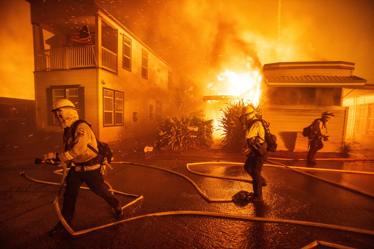
The wildfires that swept through Los Angeles County in January 2025 left an indelible mark on the Southern California landscape. The Eaton and Palisades fires raged for 24 days, killing 29 people and destroying 16,000 structures, with losses estimated at $60 billion. More than 55,000 acres were consumed, and the landscape itself was physically transformed.
Researchers are now using lidar (light detection and ranging) technology to precisely measure these changes in the landscape’s geometry—helping them understand the effects of climate disasters.
Lidar, which measures how long it takes for pulses of laser light to bounce off surfaces and return, has been used in topographic mapping for decades. Today, airborne lidar from planes and drones maps the Earth’s surface in high detail. Scientists can then “diff” the data—compare before-and-after snapshots and highlight all the changes—to identify more subtle consequences of a disaster, including fault-line shifts, volcanic eruptions, and mudslides.
Falko Kuester, an engineering professor at the University of California, San Diego, co-directs ALERTCalifornia, a public safety program that uses real-time remote sensing to help detect wildfires. Kuester says lidar snapshots can tell a story over time.