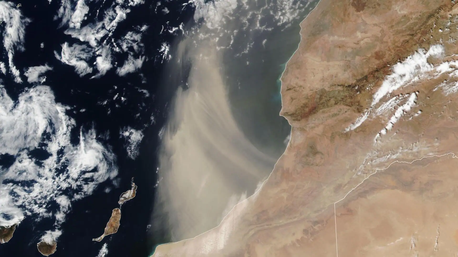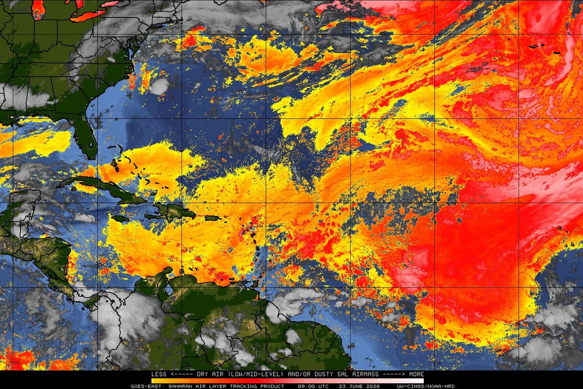
A massive cloud of dust that has traveled thousands of miles from the Sahara Desert is expected to reach Florida as early as June 4 before spreading through the Gulf Coast and Southeast later in the week, forecasters said.
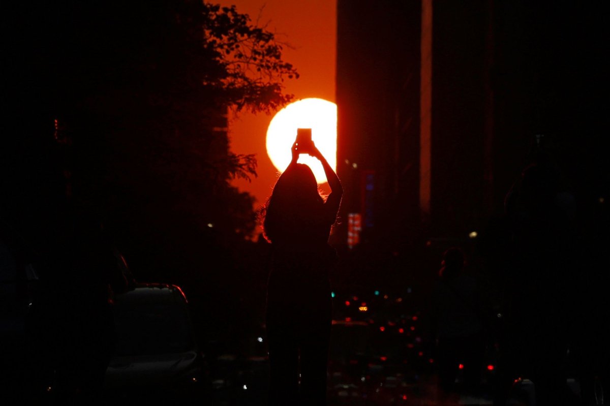
Most of the dust, which is thought to be about 2,000 miles wide from west to east and 750 miles long from north to south, will remain high in the atmosphere and have little effect on air quality and health for most people, according to AccuWeather. Floridians could start to see hazy or colorful sunrises and sunsets midweek.
“This is the biggest Saharan dust plume that we've seen so far this year. It is very common to see large plumes of Saharan dust coming across the Atlantic toward the United States in June and July,” AccuWeather Lead Hurricane Expert Alex DaSilva said. “Many people will notice more colorful sunrises and sunsets, and a milky or hazy look in the sky.”
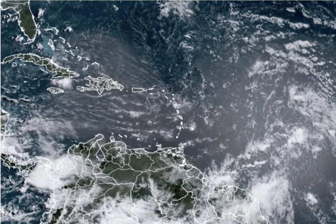
The dust cloud has covered the Caribbean islands on its way across the Atlantic toward the United States. In Puerto Rico earlier in the week, the cloud was dense and caused hazy skies, according to the National Weather Service in San Juan.
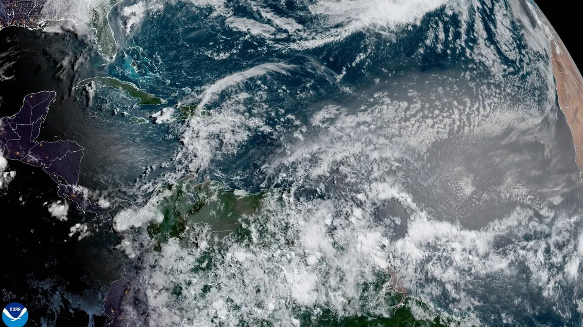
The plume is expected to reach south Florida by June 4, then push further north to the rest of Florida and parts of Georgia and South Carolina by June 5, according to AccuWeather. By the end of the week, it should reach several other Gulf Coast and Southeastern states including Louisiana, Mississippi and Alabama, AccuWeather reported.